Lot 443
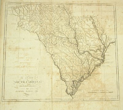
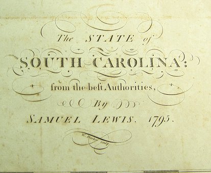
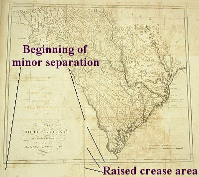
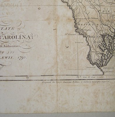
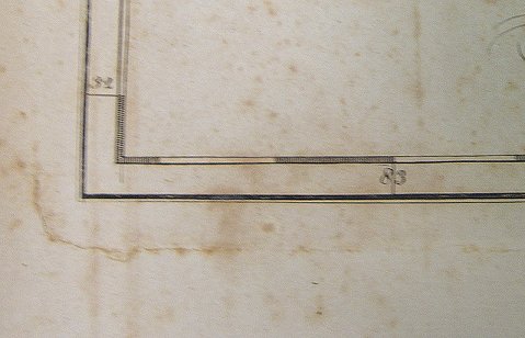
SAMUEL LEWIS'S 1795 MAP OF SOUTH CAROLINA FROM CAREY'S AMERICAN EDITION OF GUTHRIES GEOGRAPHY IMPROVED: The map shows remarkable early detail, including towns, the 8 precincts, roads, rivers, lakes, court houses etc. employing excellent topographical detail, although because of an error, the map is elongated to the North and South. There are boundary errors on the Peedee River and with Georgia. No page number in upper right corner. 15 1/4''h x 17 1/4''w, 19''h x 19 3/4''w overall.