Lot 1331
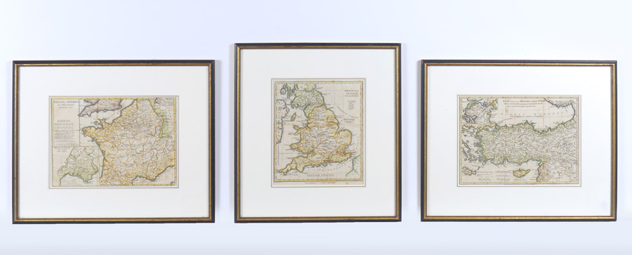
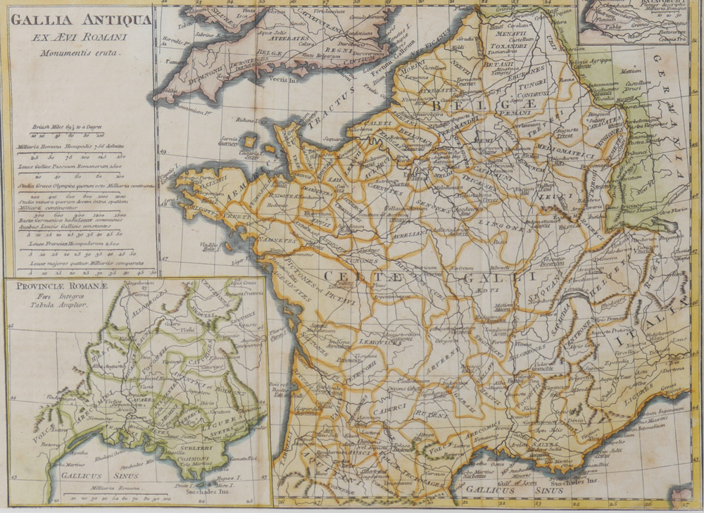
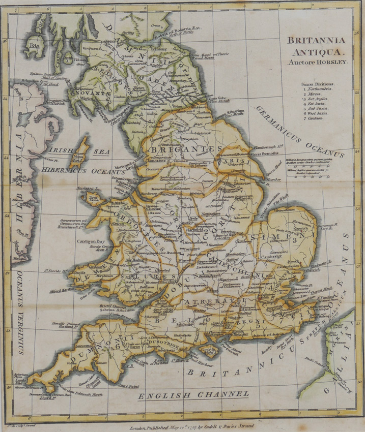
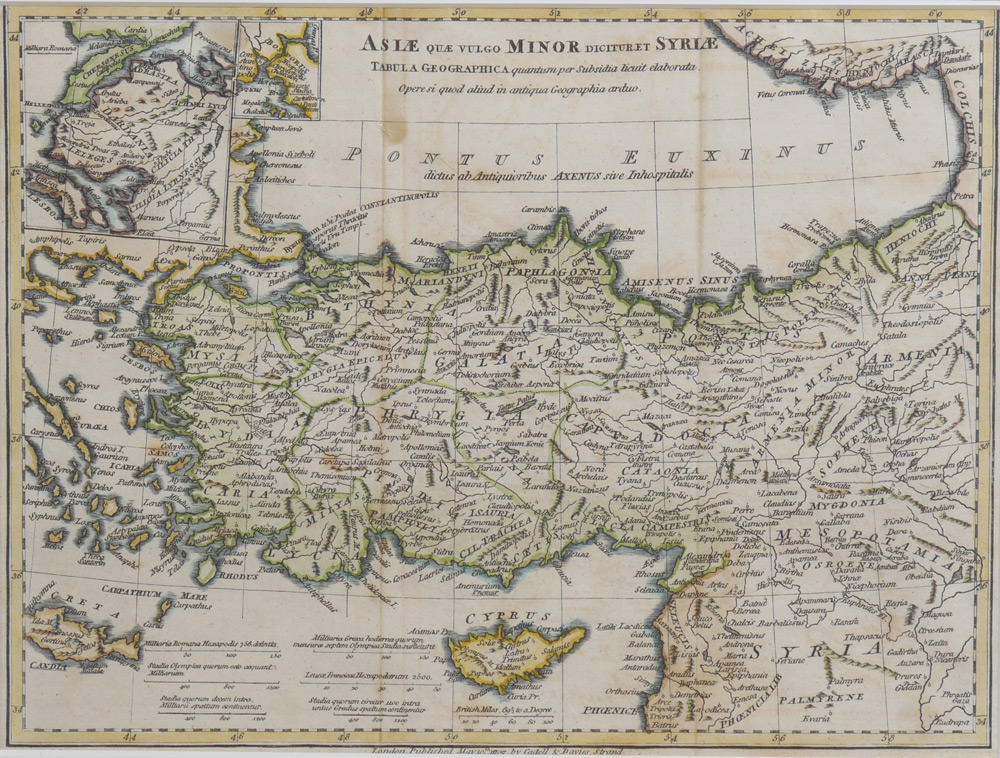
COLLECTION OF 3 ANTIQUE MAPS: 3 framed maps total to include 1) ''Britannia Antiqua'' by John Horsley, published 1797 Cadell & Davies Strand, hand colored engraving. Sight size 9 5/8'' x 8'', framed and matted 16 1/4'' x 14 3/4''. 2) ''Gallia Antiqua Ex Aevi Romani Momentus Eruta'', by J. B. B. D'anville, circa 1794, hand colored engraving with 2 inset maps. Sight size 8'' x 11'', framed and matted 14 3/4'' x 17 3/4''. 3) ''Asiae Quae Vulgo Minor Dicituret Syriae, Tablula Geographica...'', by J. B. B. D'anville, published 1809 Cadell & Davies Strand, hand colored engraving including the island of Cyprus, sight size 8'' x 10 3/4'', framed and matted 14 3/4'' x 17 3/4''.
CONDITION: Toning, foxing, visible fold lines, not examined out of frame.