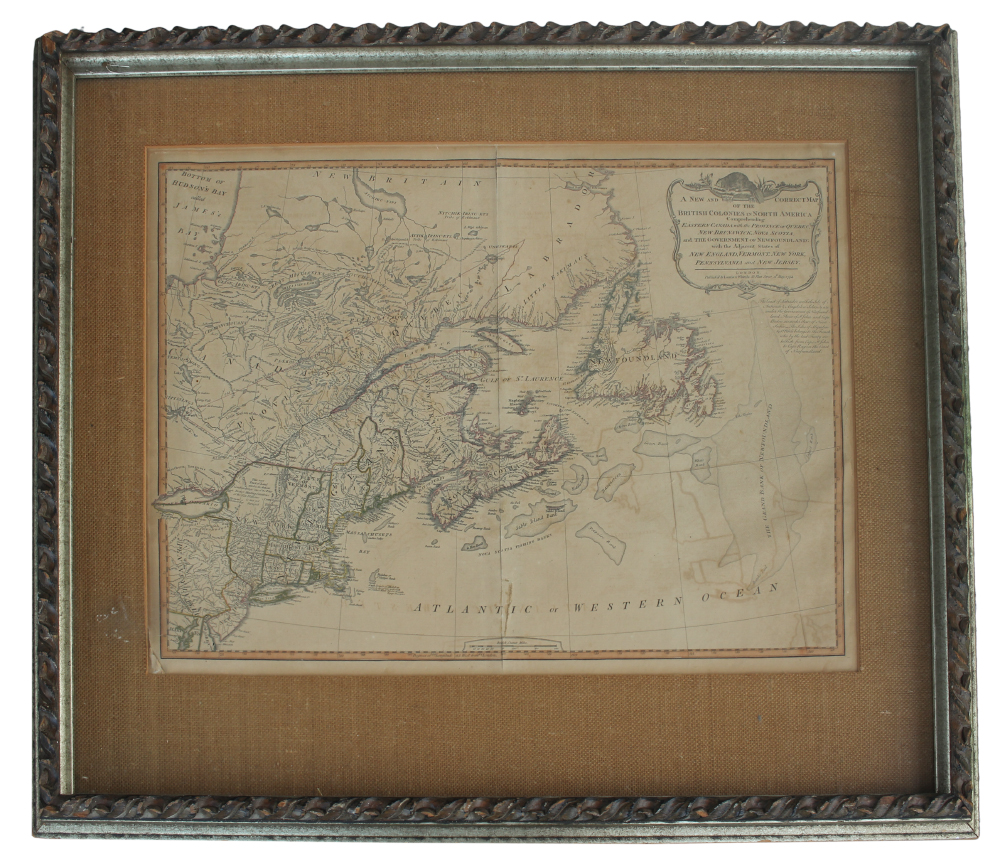
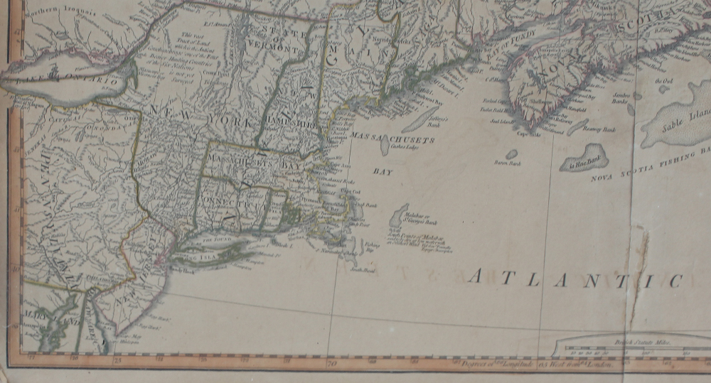
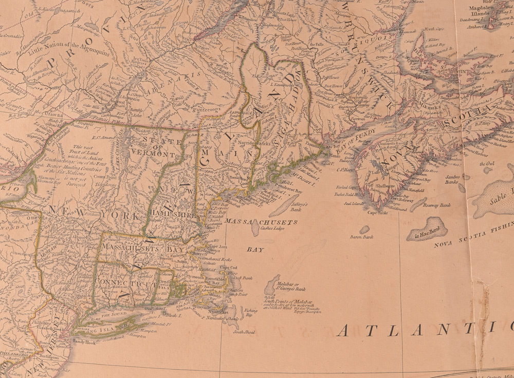
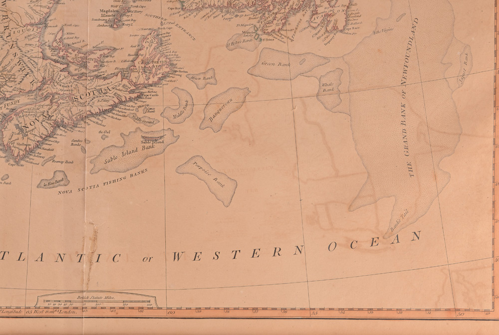
Lot 1208
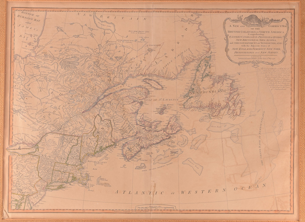
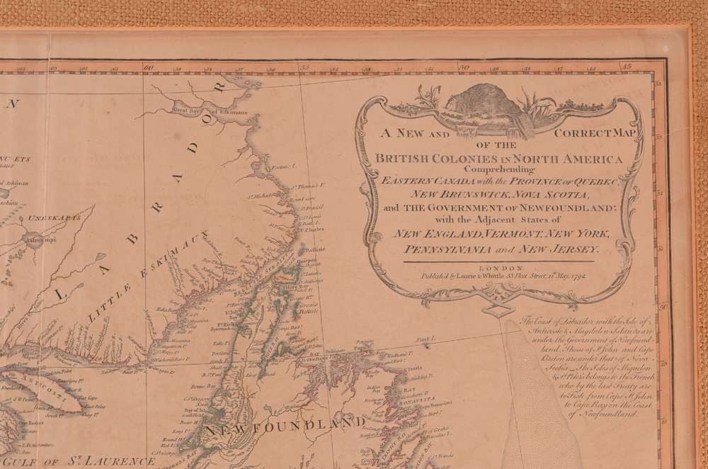
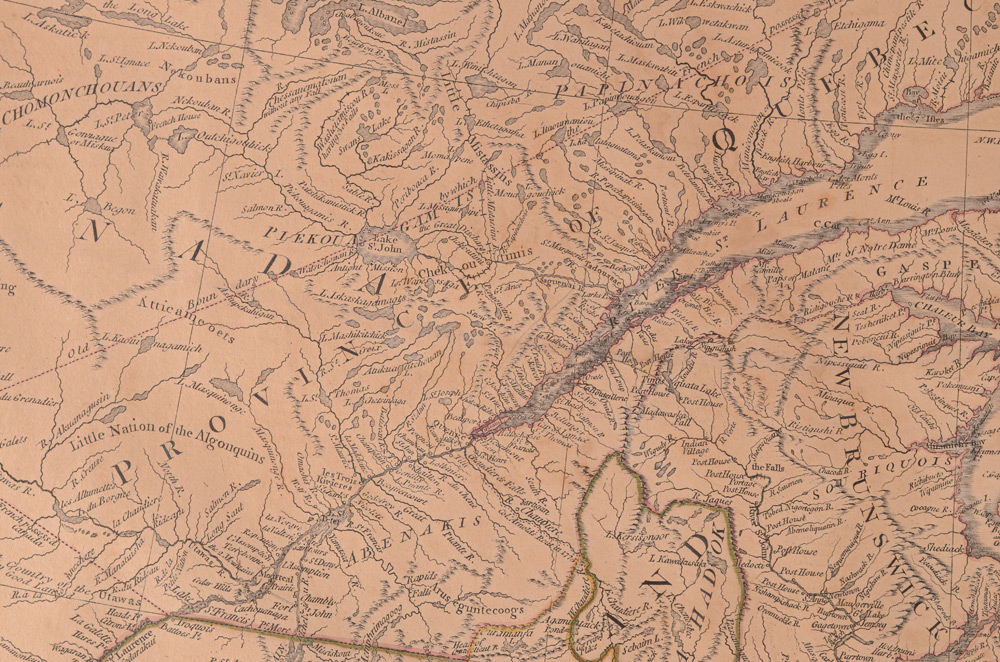
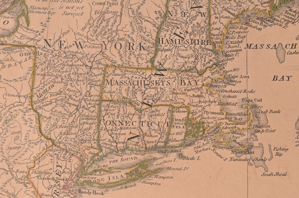
LAURIE & WHITTLE 1794 BRITISH COLONIES MAP: Full title ''A New and Correct Map of the British Colonies in North America Comprehending Eastern Canada, with the Province of Quebec, New Brunswick, Nova Scotia, and the Government of Newfoundland with the Adjacent States of New England, Vermont, New York, Pennsylvania and New Jersey'', published 1794 by Laurie & Whittle London. 21 3/4'' x 26 1/2'' with margins, framed and matted 31'' x 36''.
CONDITION: Toning, visible tear repairs, bleed through, masking tape used to mount to mat, sold as-is.