Lot 1220
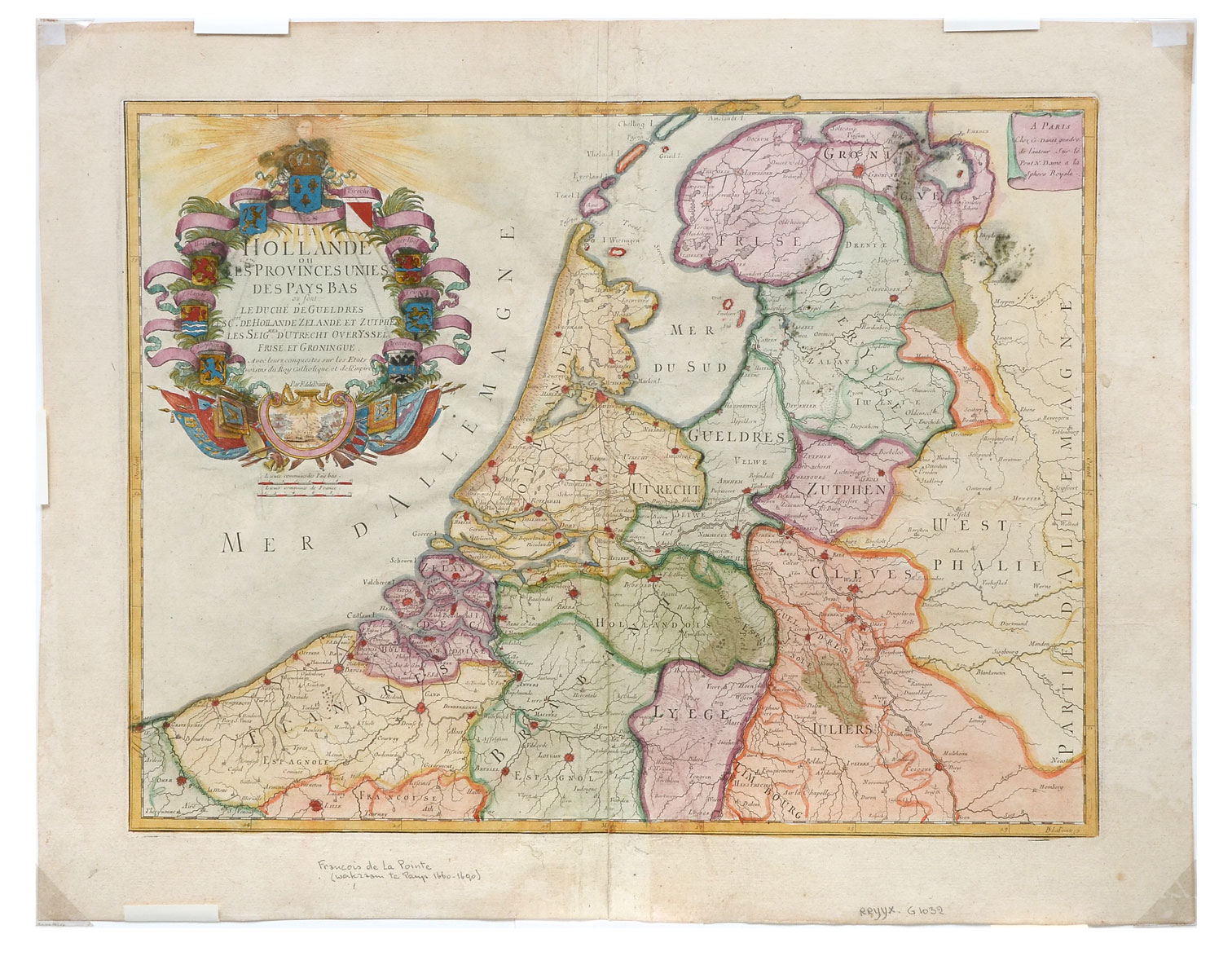
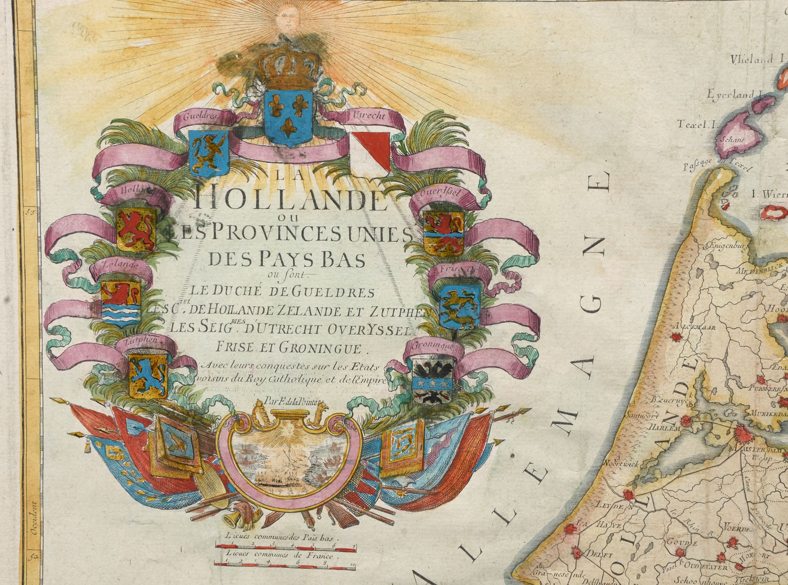
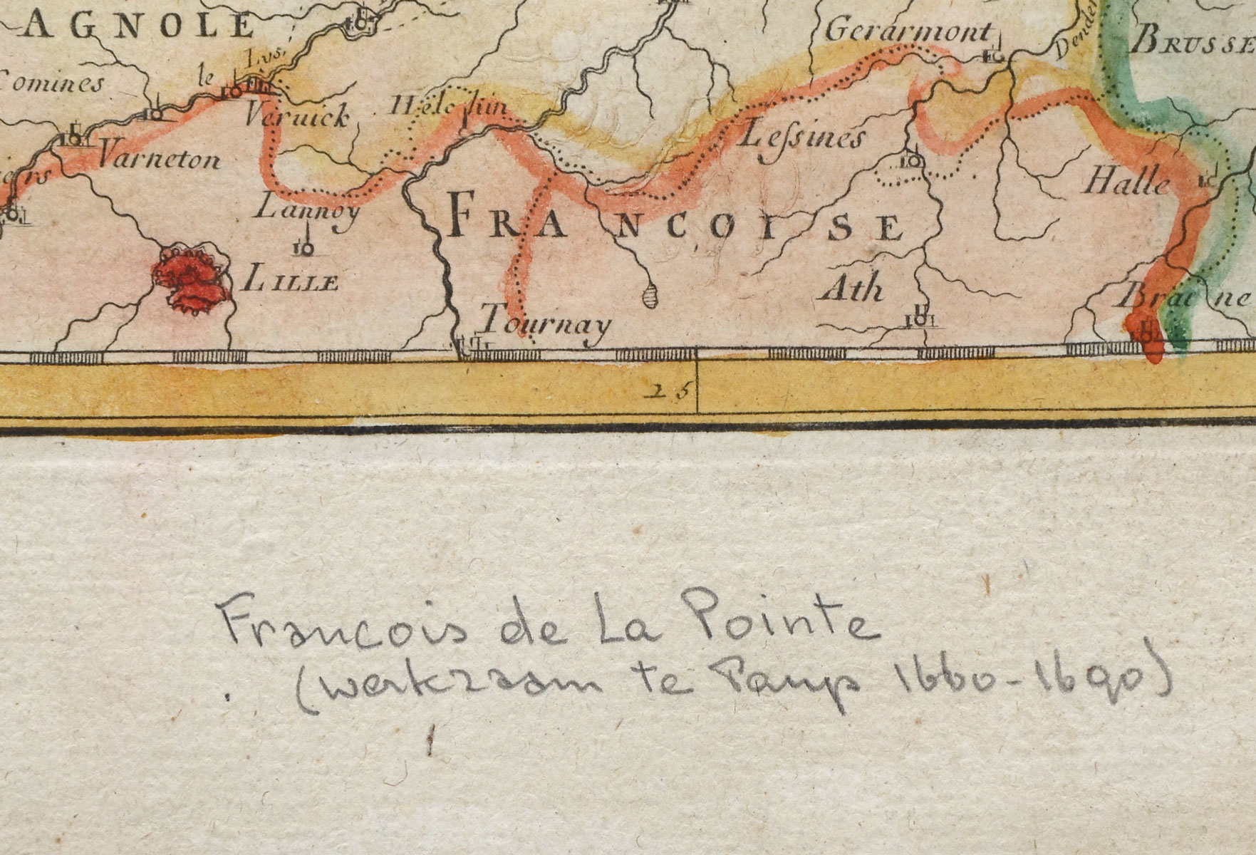
17TH CENTURY FRANCOIS DE LA POINTE HOLLANDE MAP: Hand-colored 17th Century map of Holland, by Francois De La Pointe. Approx. 18.75'' h x 24.5'' l. Print Approx. 15.25'' h x 20.75'' w.
CONDITION: Some foxing, creased center, wear consistent with age and use.