Lot 1447
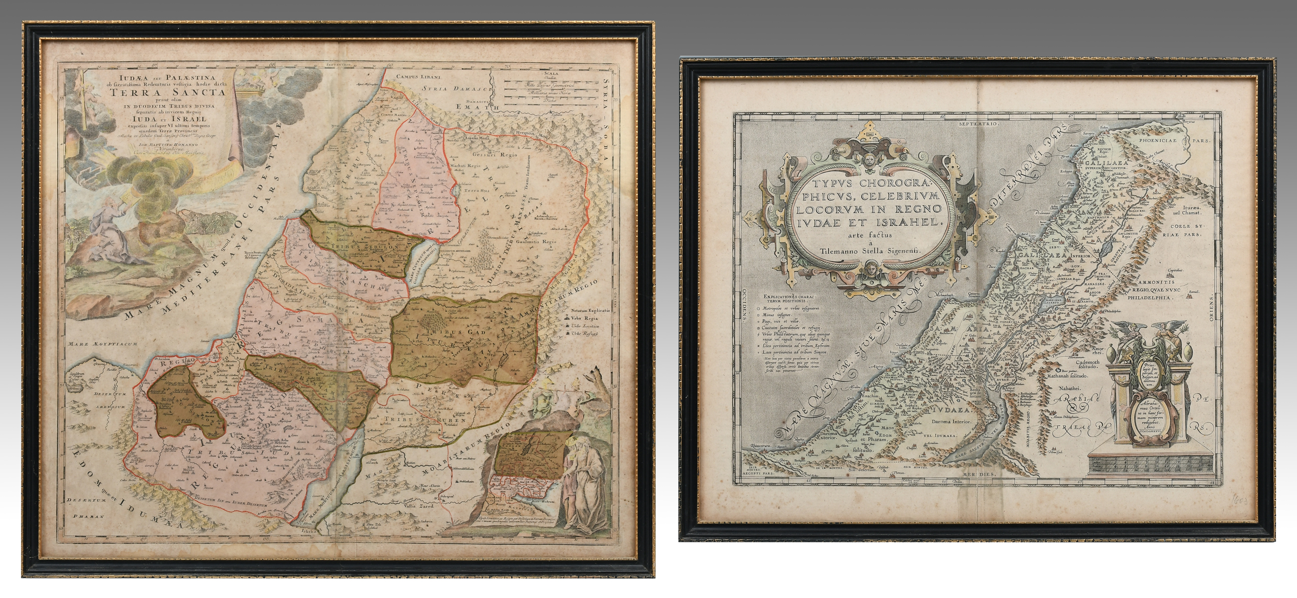
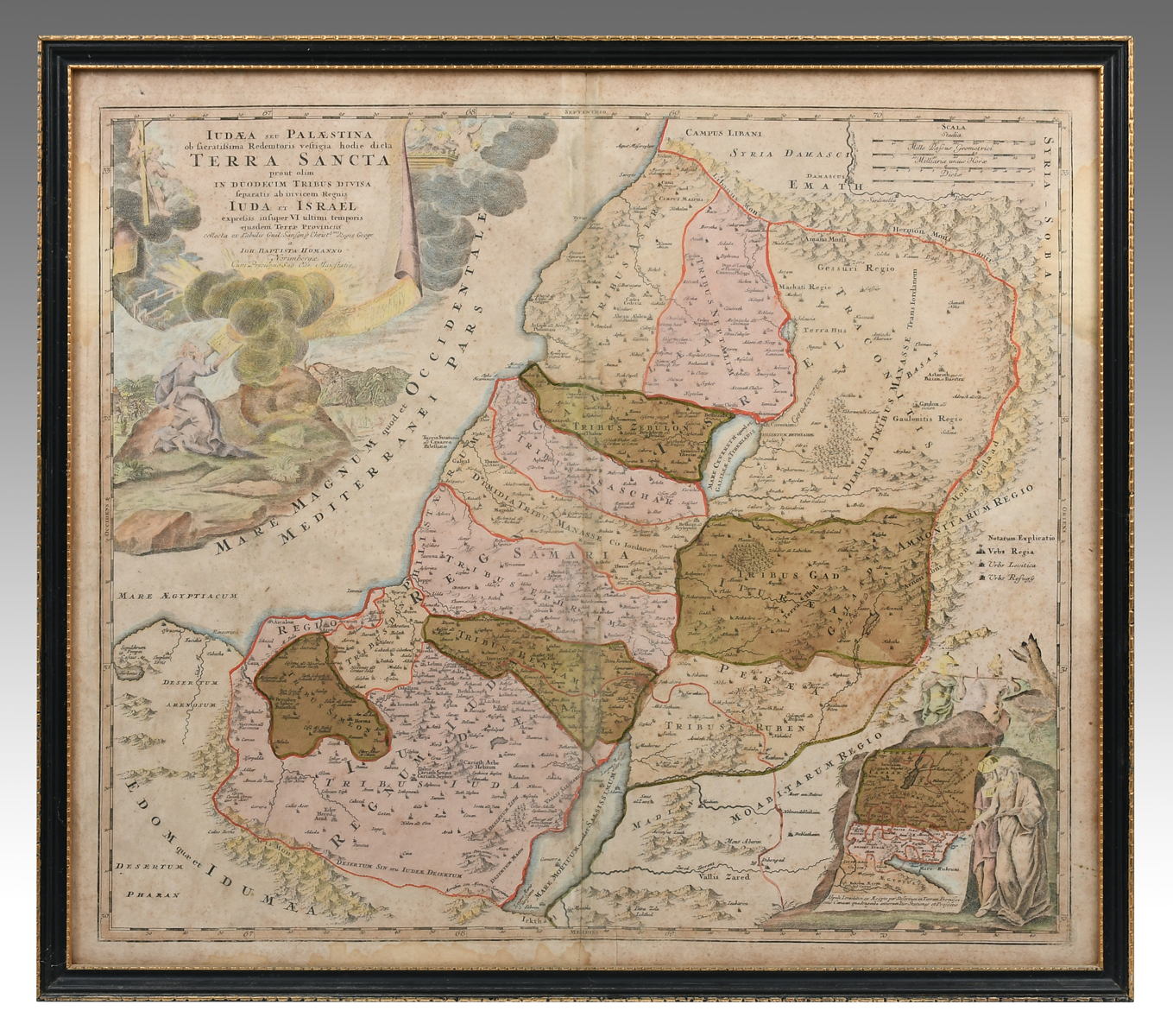
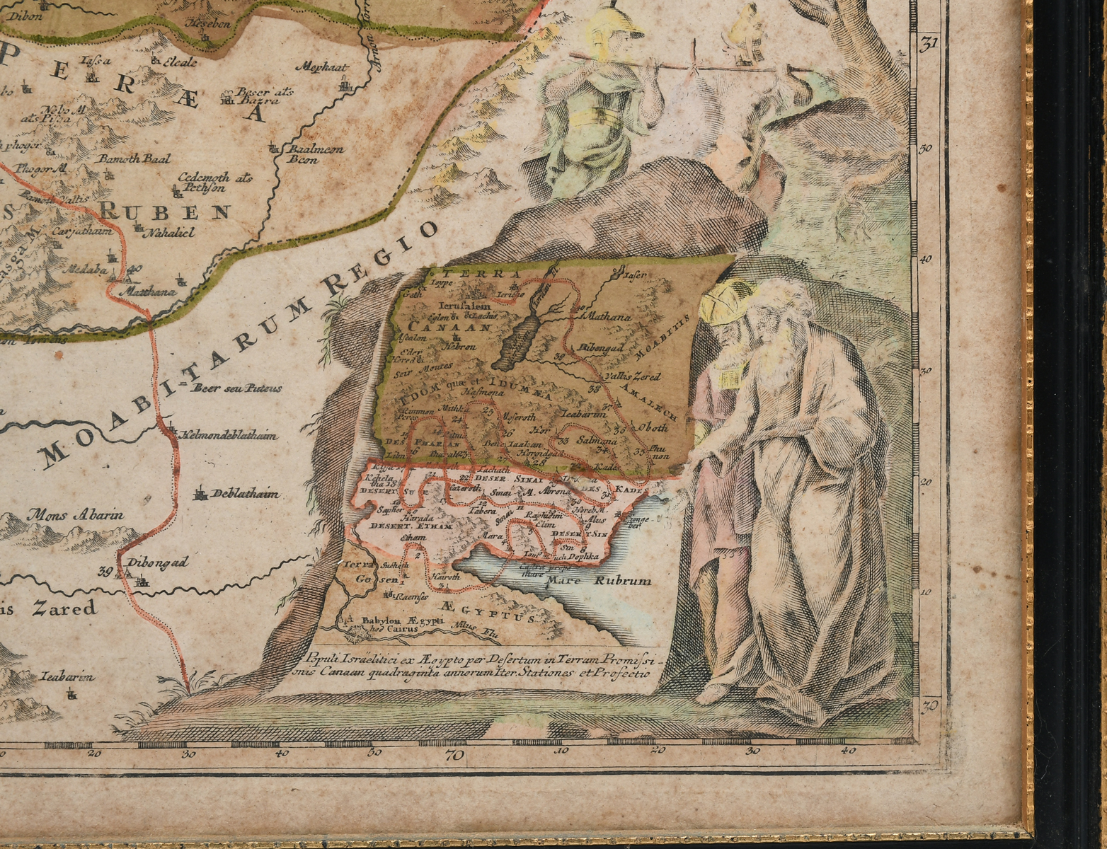
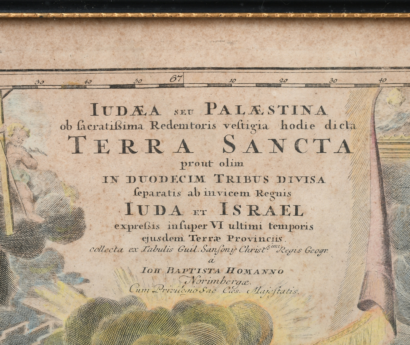
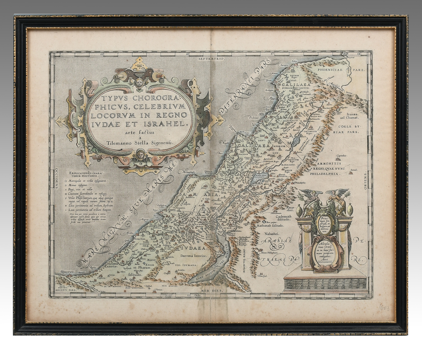
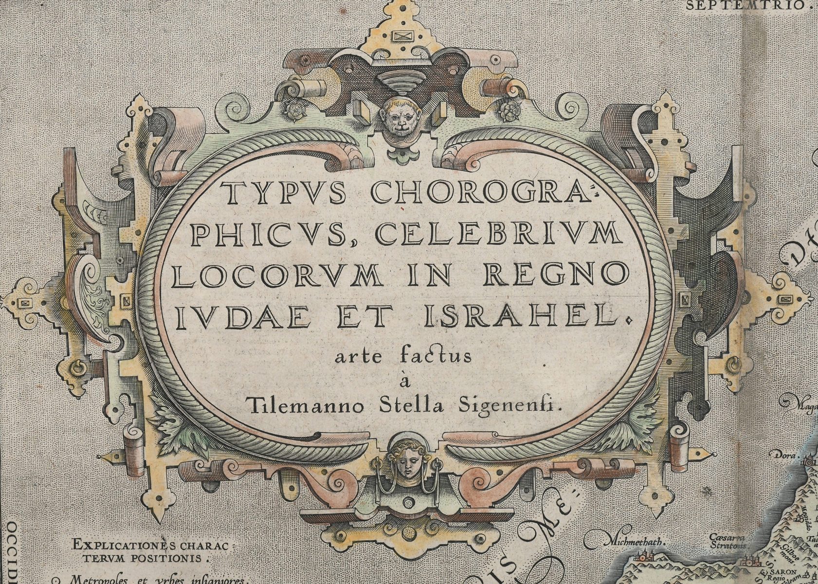
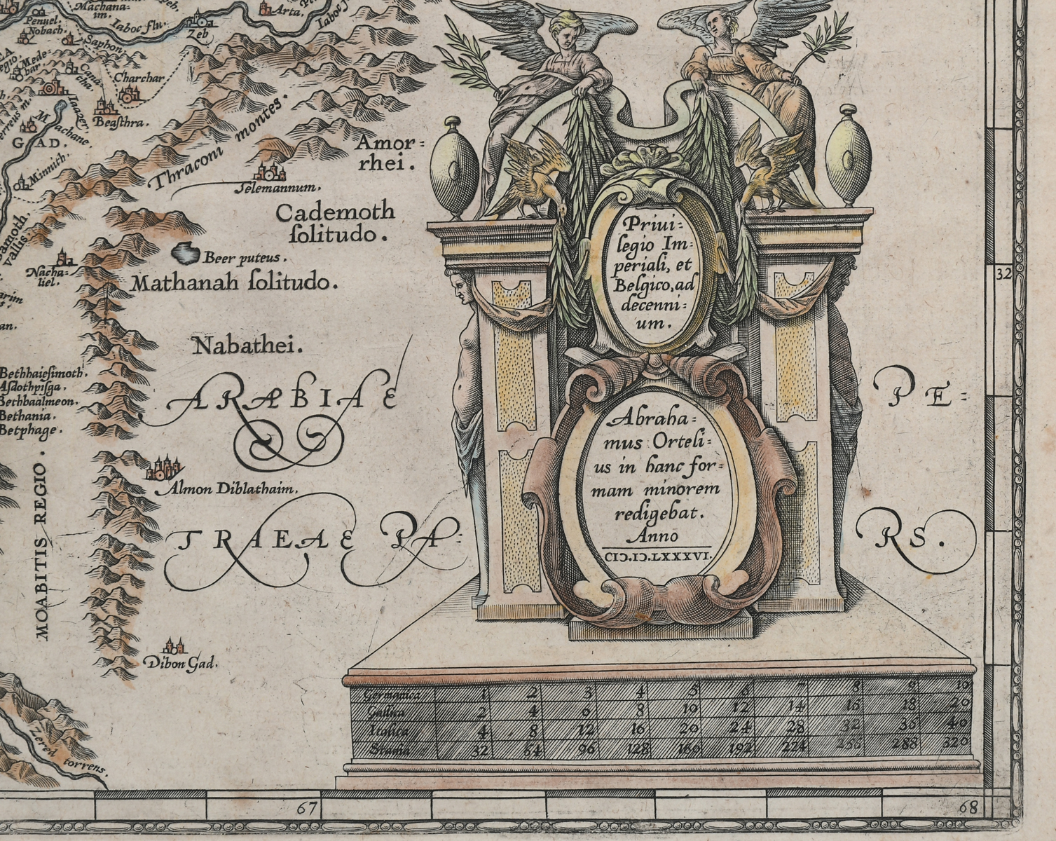
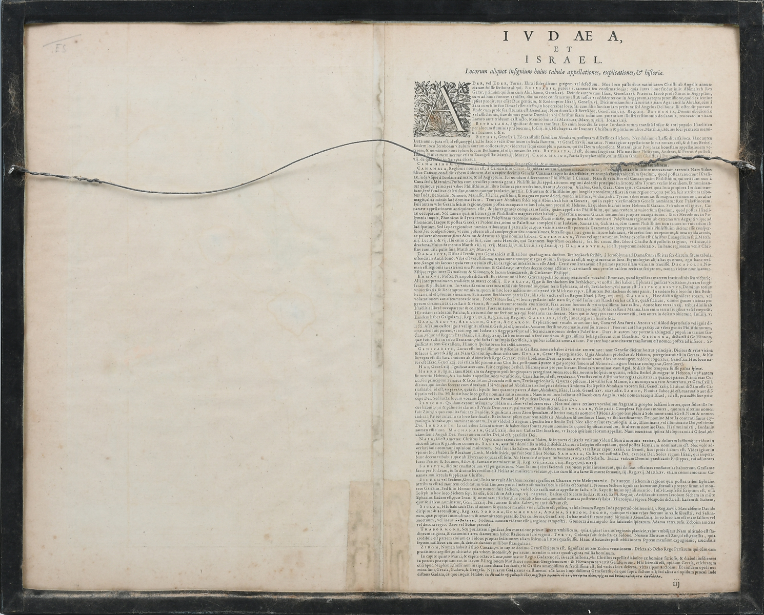
2 PC. FRAMED ANTIQUE MAPS OF ISRAEL: Comprising; 1- Detailed Ortelius Map of the Holy Land, Based on Tilemann Stella's Extremely Rare Holy Land Maps. 1- Homann based this map of the Holy Land on the cartography of Guillaume Sanson. It presents the region divided among the twelve tribes of Israel and covers from Sidon to Sirbonis L in the Egyptian desert. Largest Approx. 22'' h x 25'' w.
CONDITION: Foxing, creases, scattered wear to frames.