Lot 1448
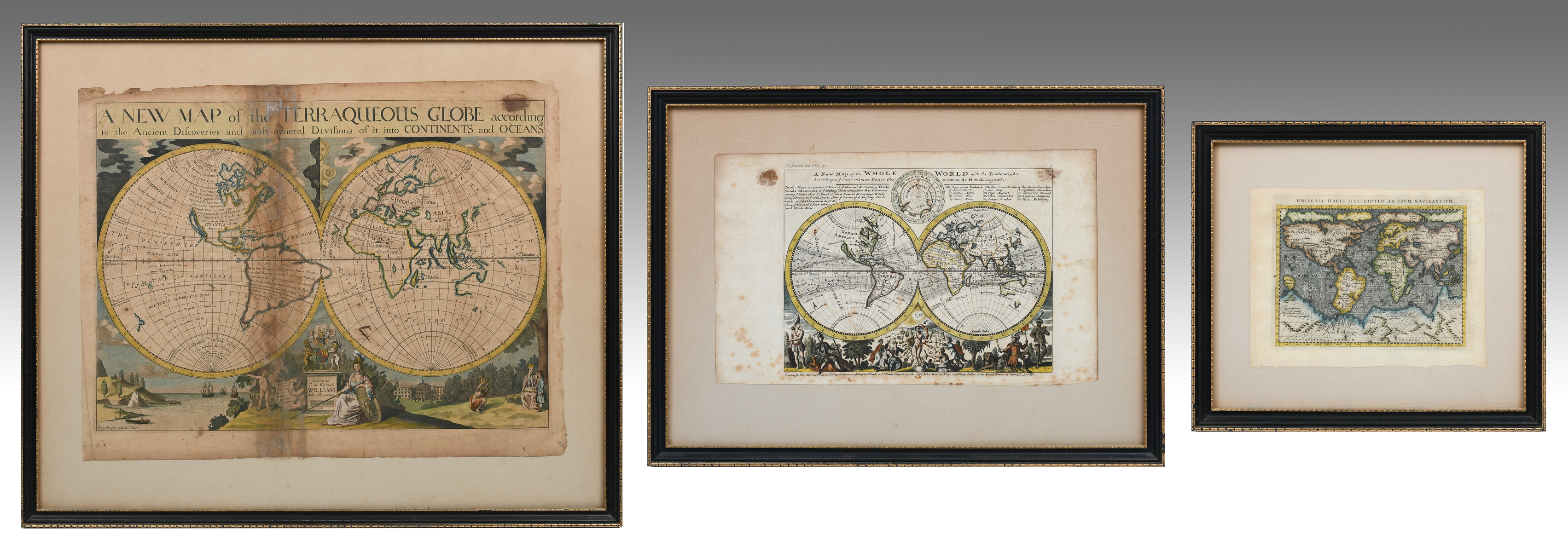
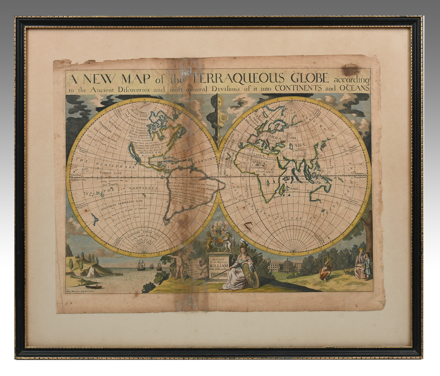
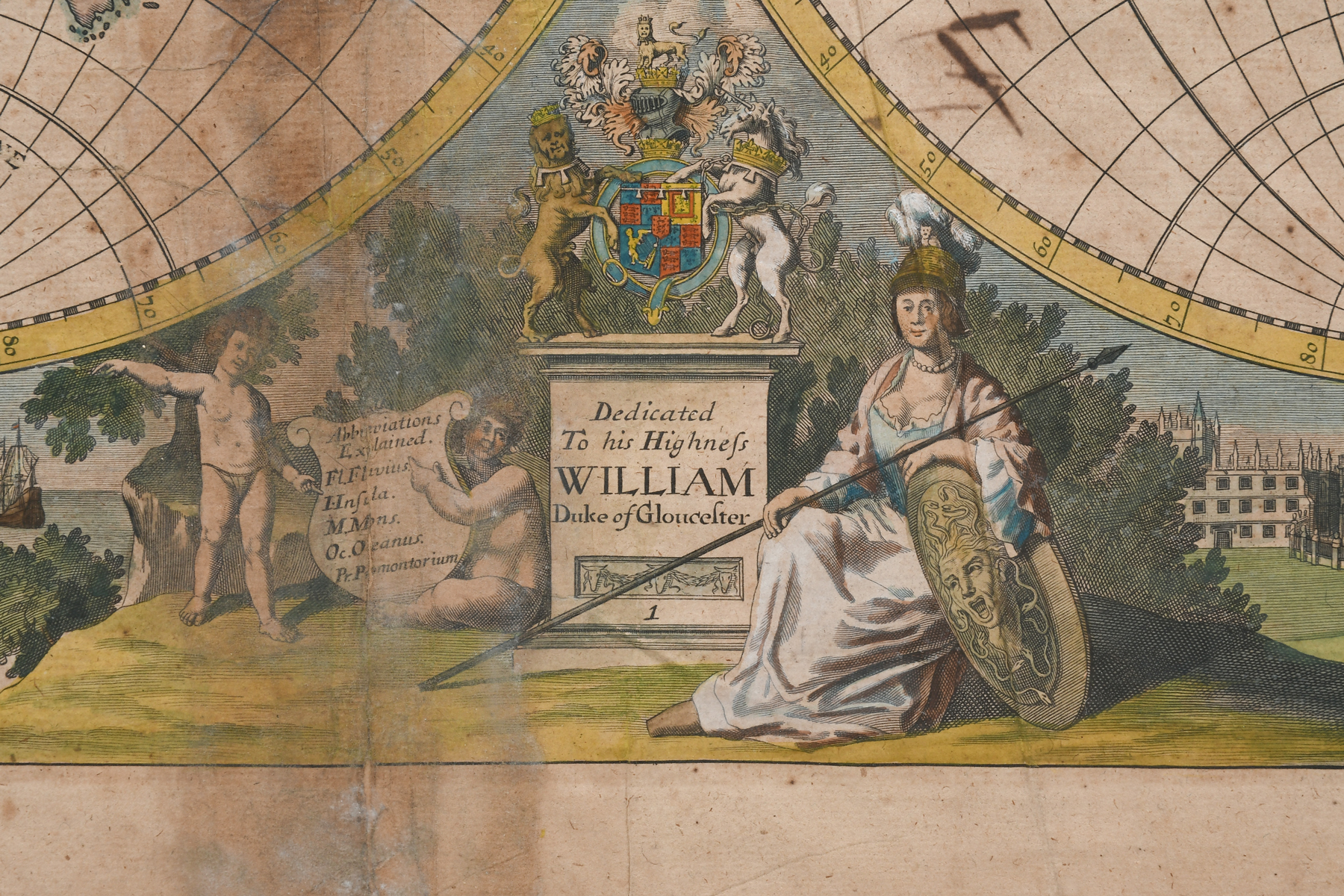
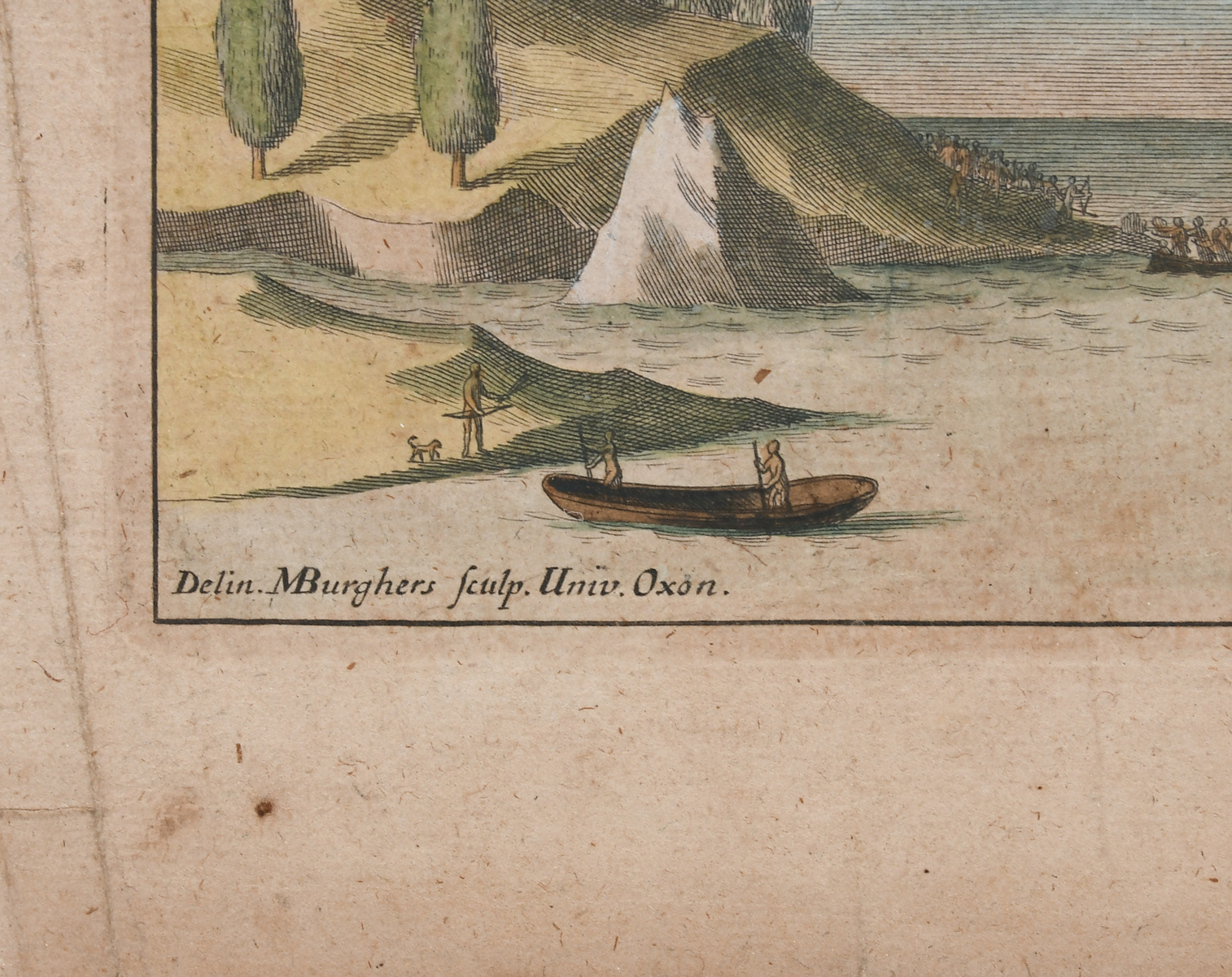
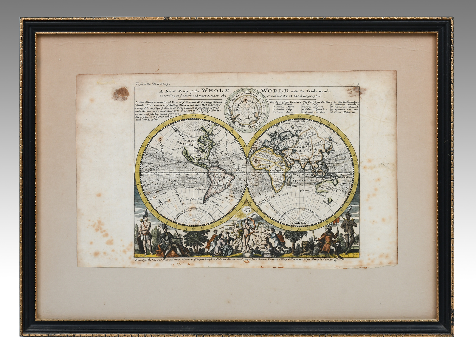
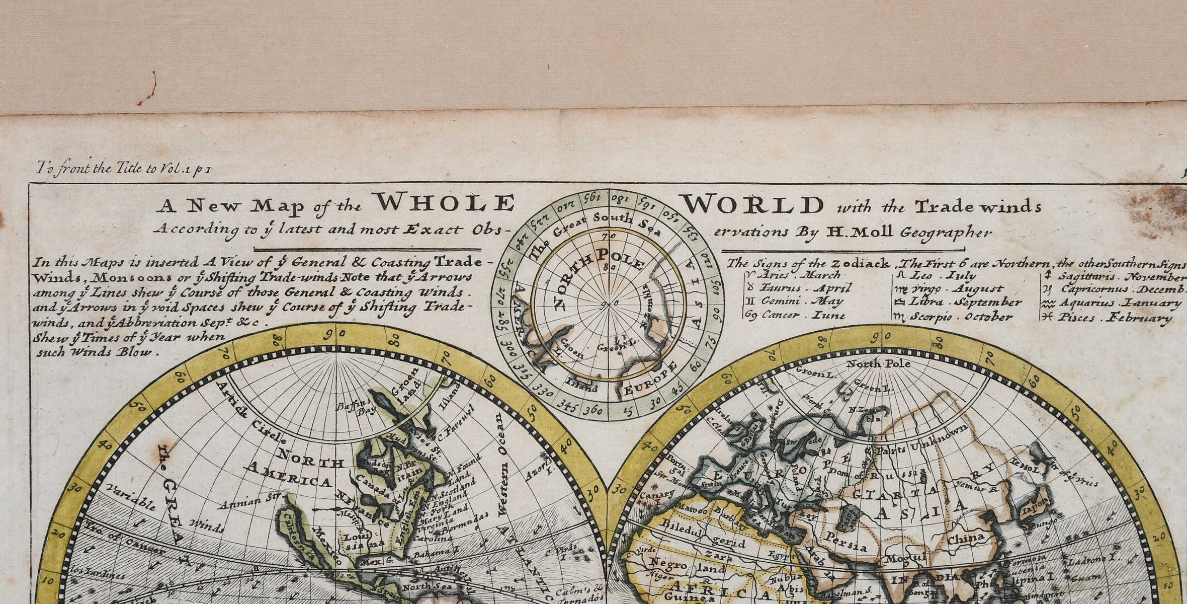
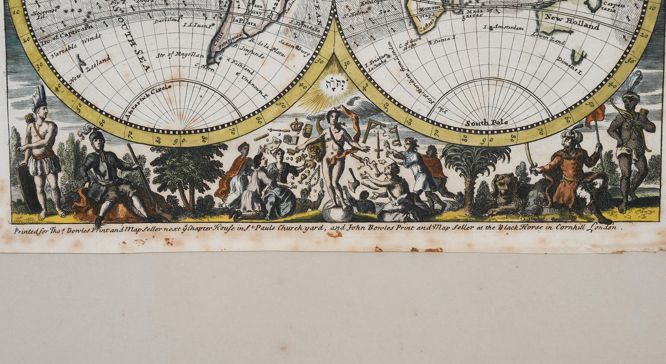
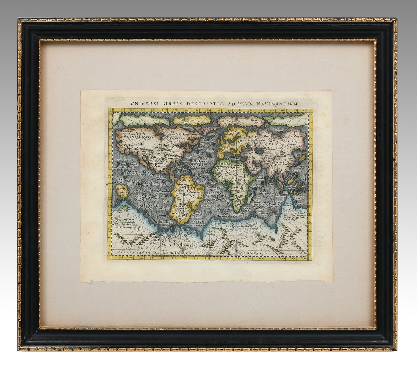
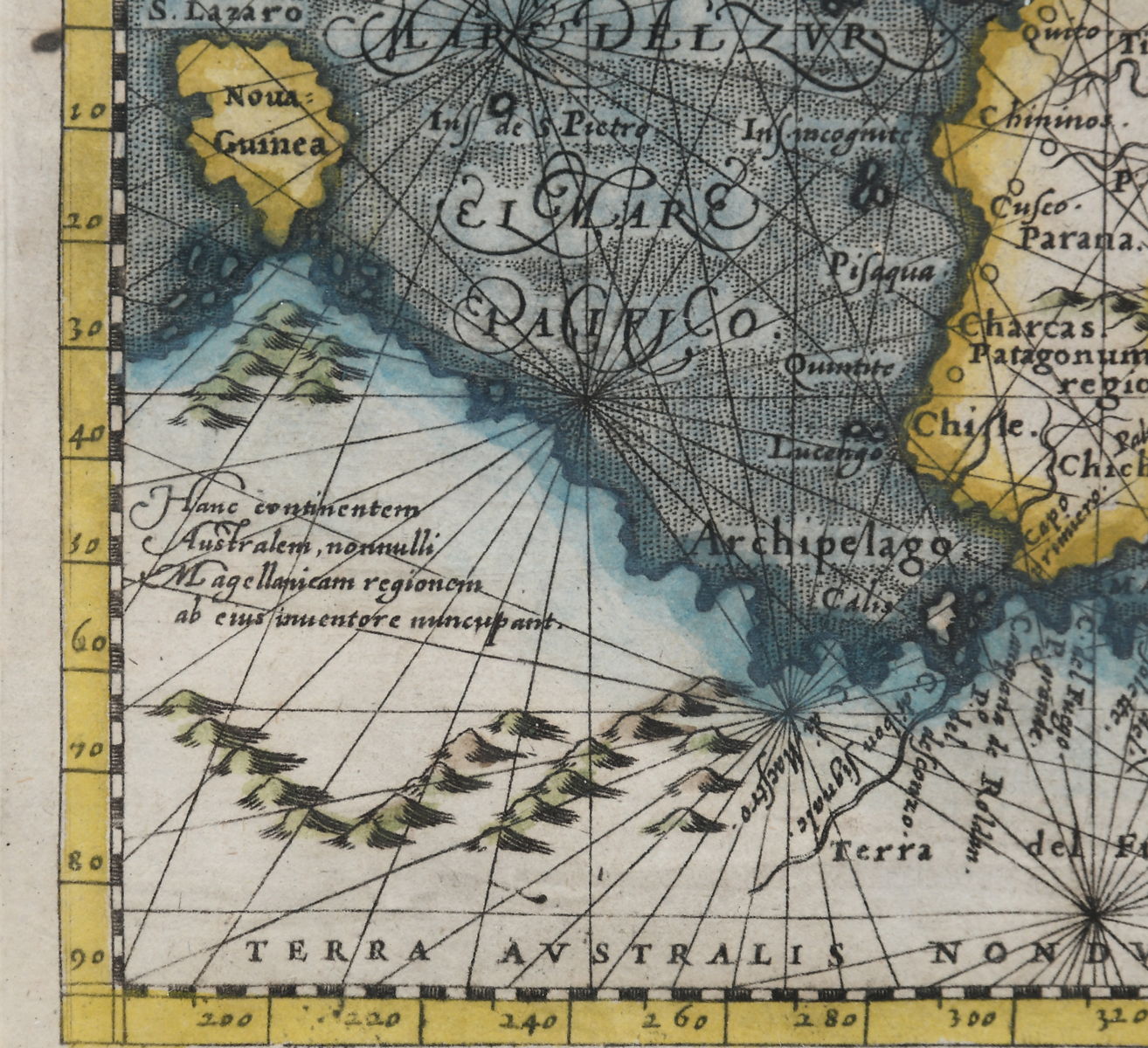
3 PC. FRAMED WORLD MAPS: Comprising; 1- A reduced scale world map based on Mercator's map of 1569. 1- 18th-century hand-colored, A New Map of the Whole World with the Tradewinds According To The Latest and Most Exact Observations. 1- 18th-century. A new map of the terraqueous globe according to the ancient discoveries and most general divisions of it into continents and oceans. Largest Approx. 16.25'' h x 21.25'' w. Frame Approx. 22'' h x 26.5'' w.
CONDITION: Foxing, tears, creases, minimal scattered wear to frames.