Lot 1450
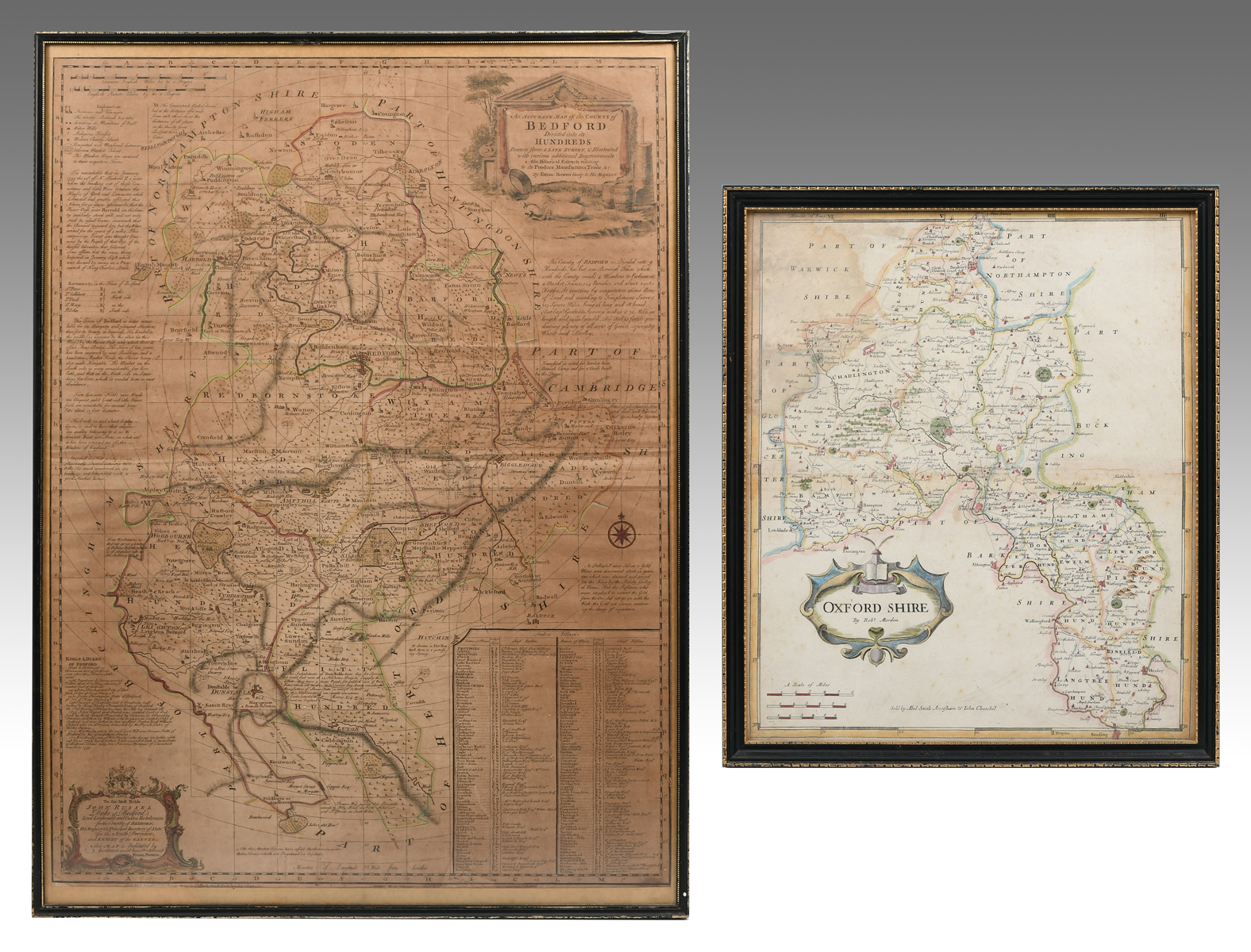
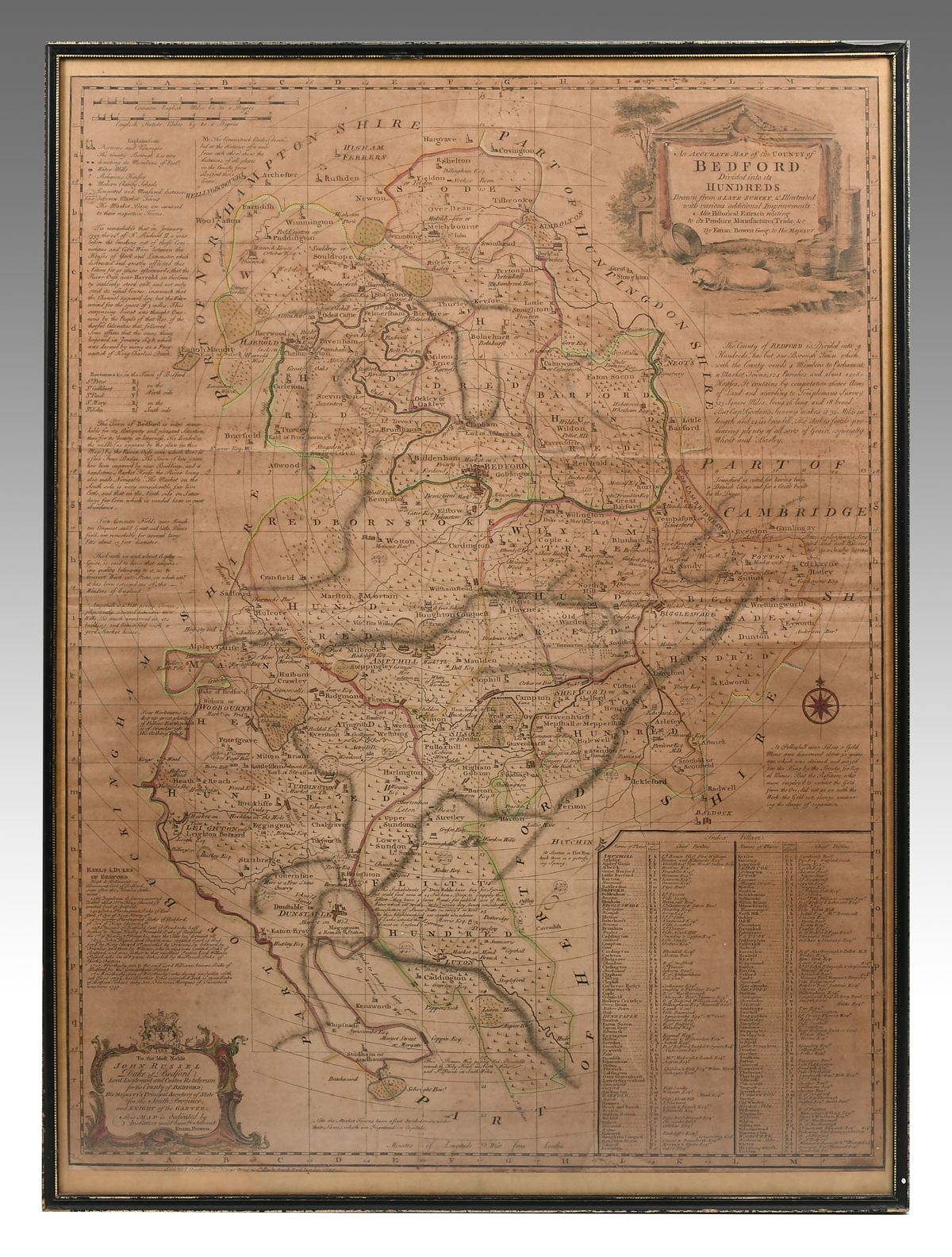
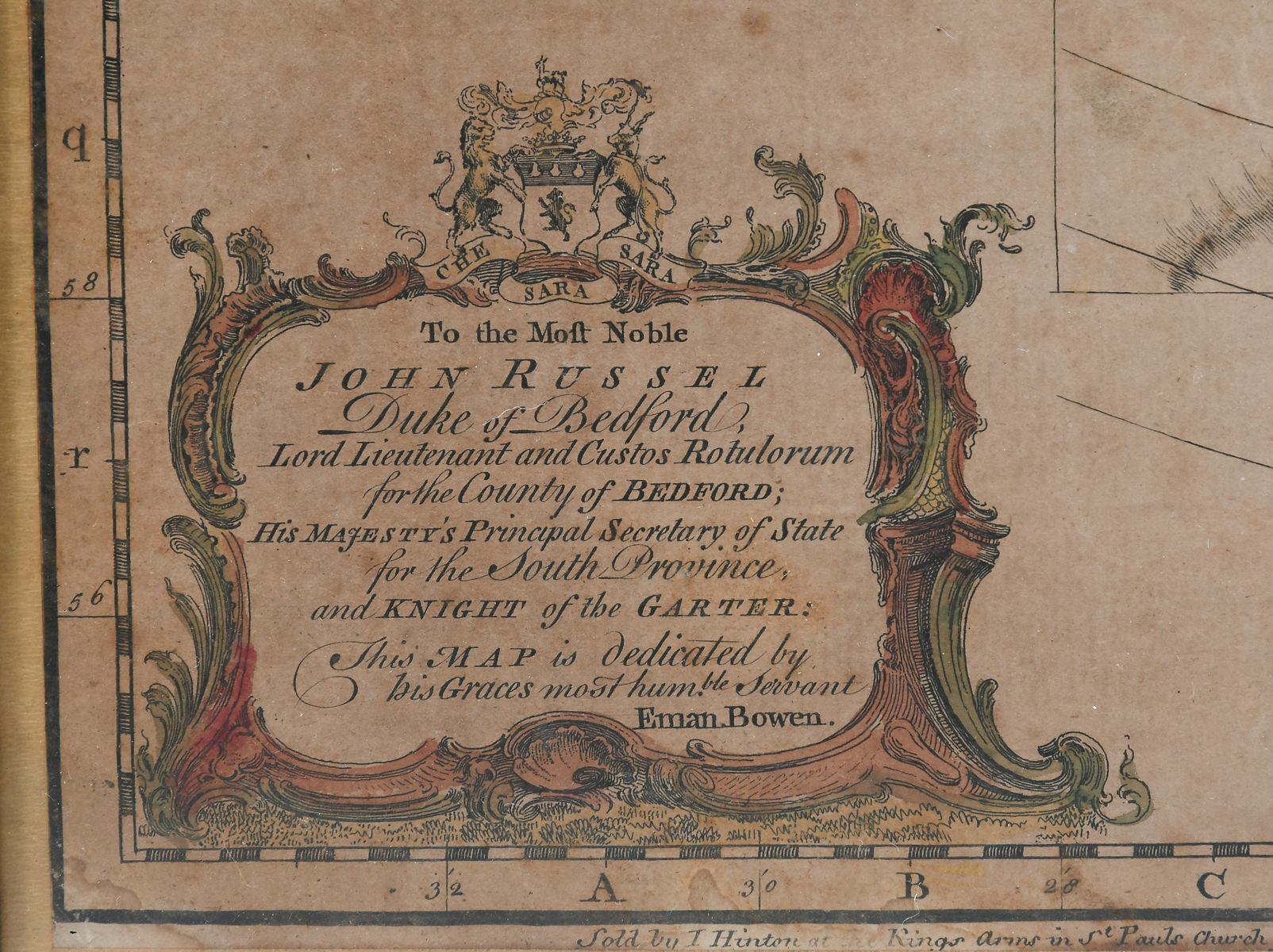
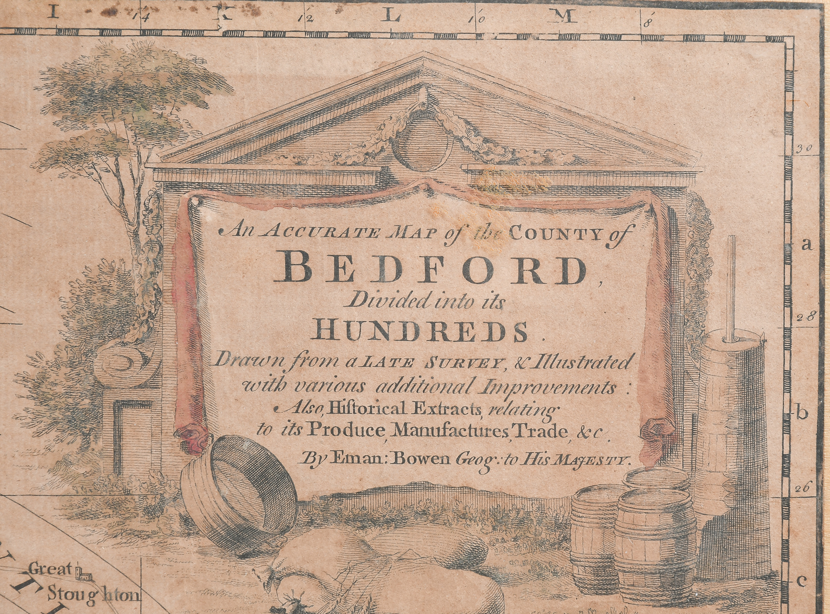
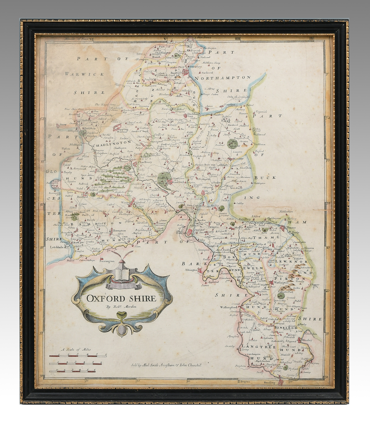
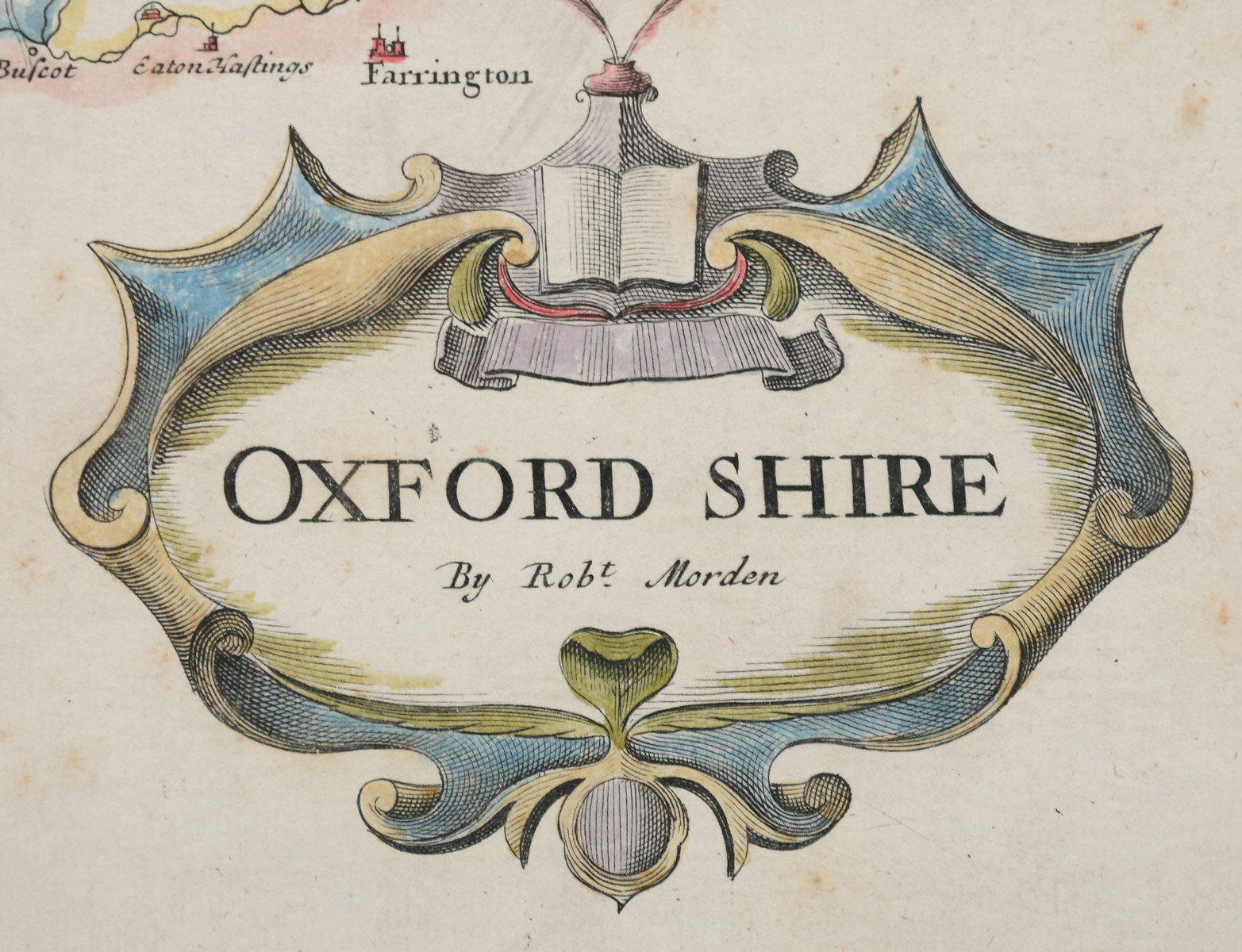
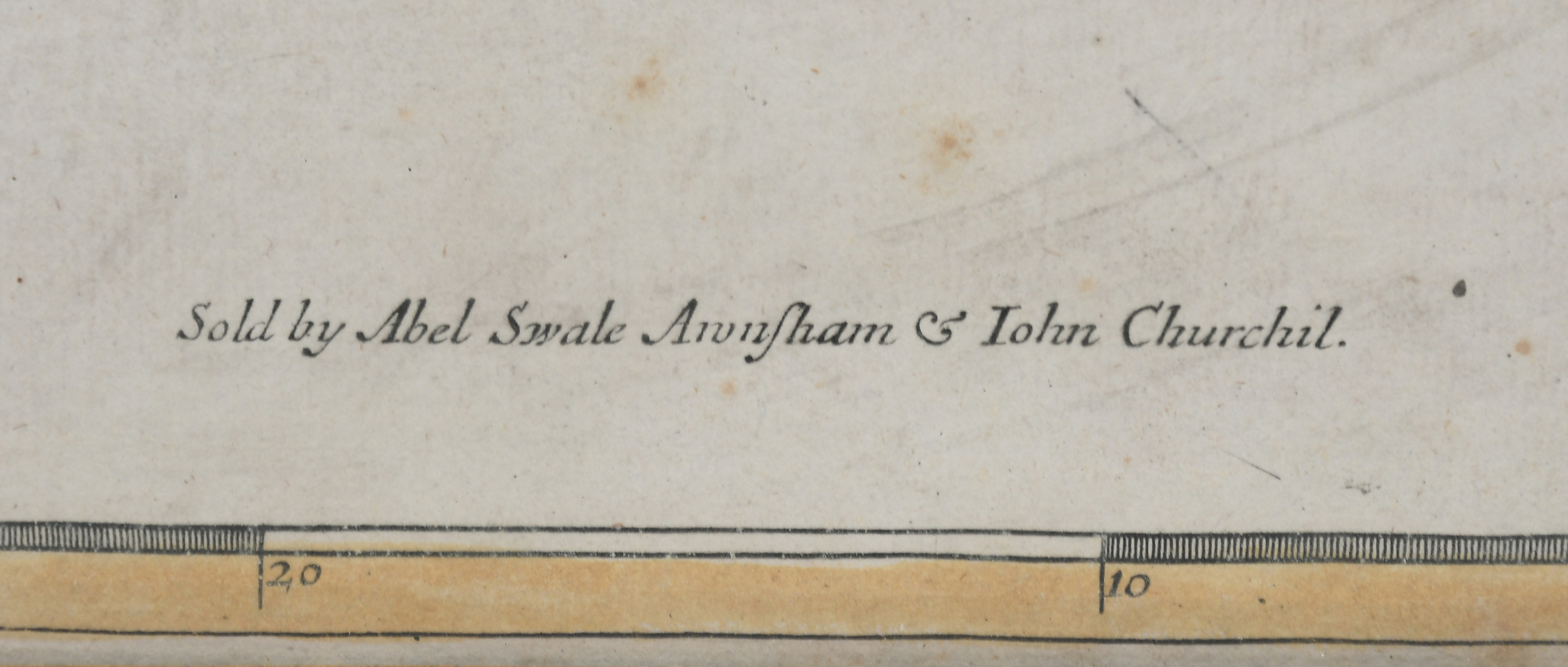
2 PC. FRAMED EARLY ENGLISH MAPS: Comprising; 1- Hand-colored Oxford Shire map, by Robert Morden. 1- An accurate map of the county of Bedford divided into its hundreds. Drawn from a late survey, & illustrated with various additional improvements. By Eman. Bowen Geog. to His Majesty. Largest Approx. 29.25'' h x 21.25'' w.
CONDITION: Foxing, creases, scattered wear to frames. One with water stain & tear.