Lot 1451
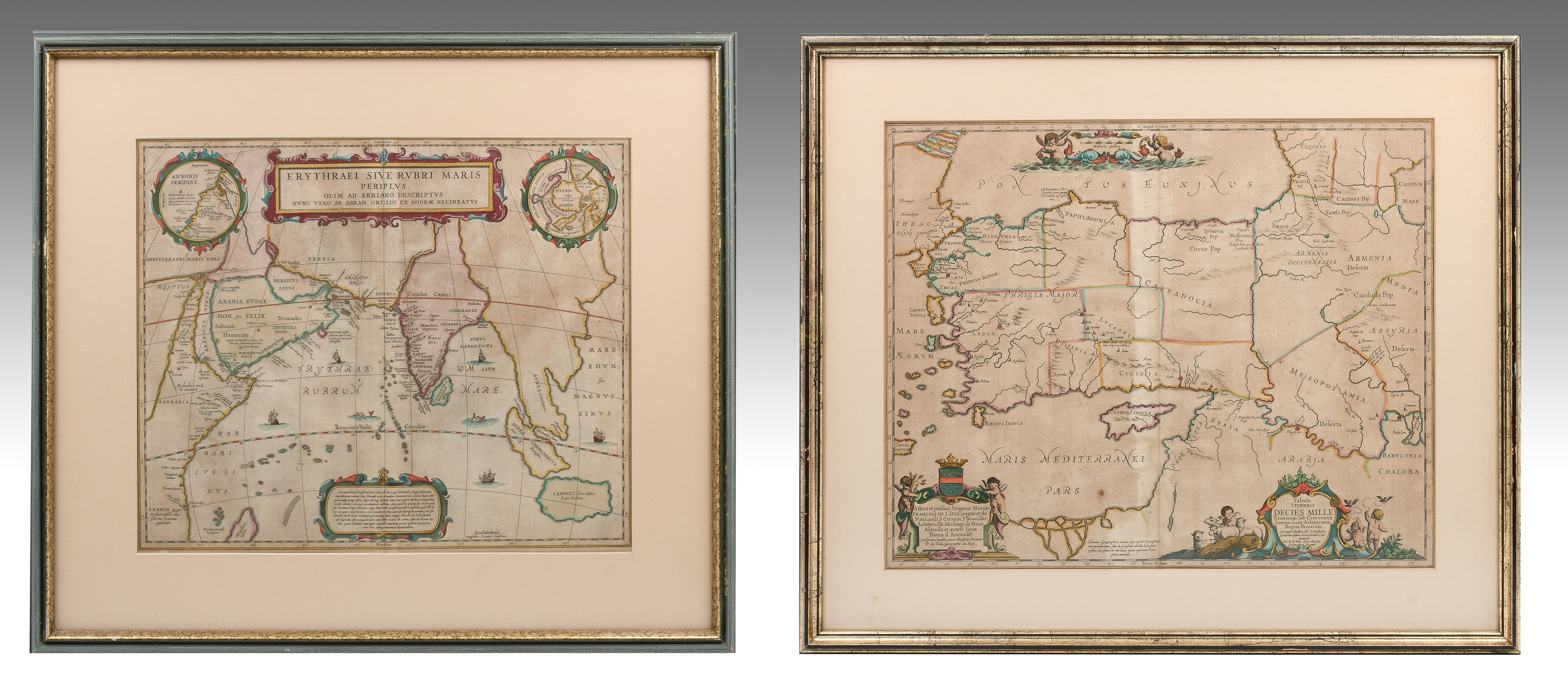
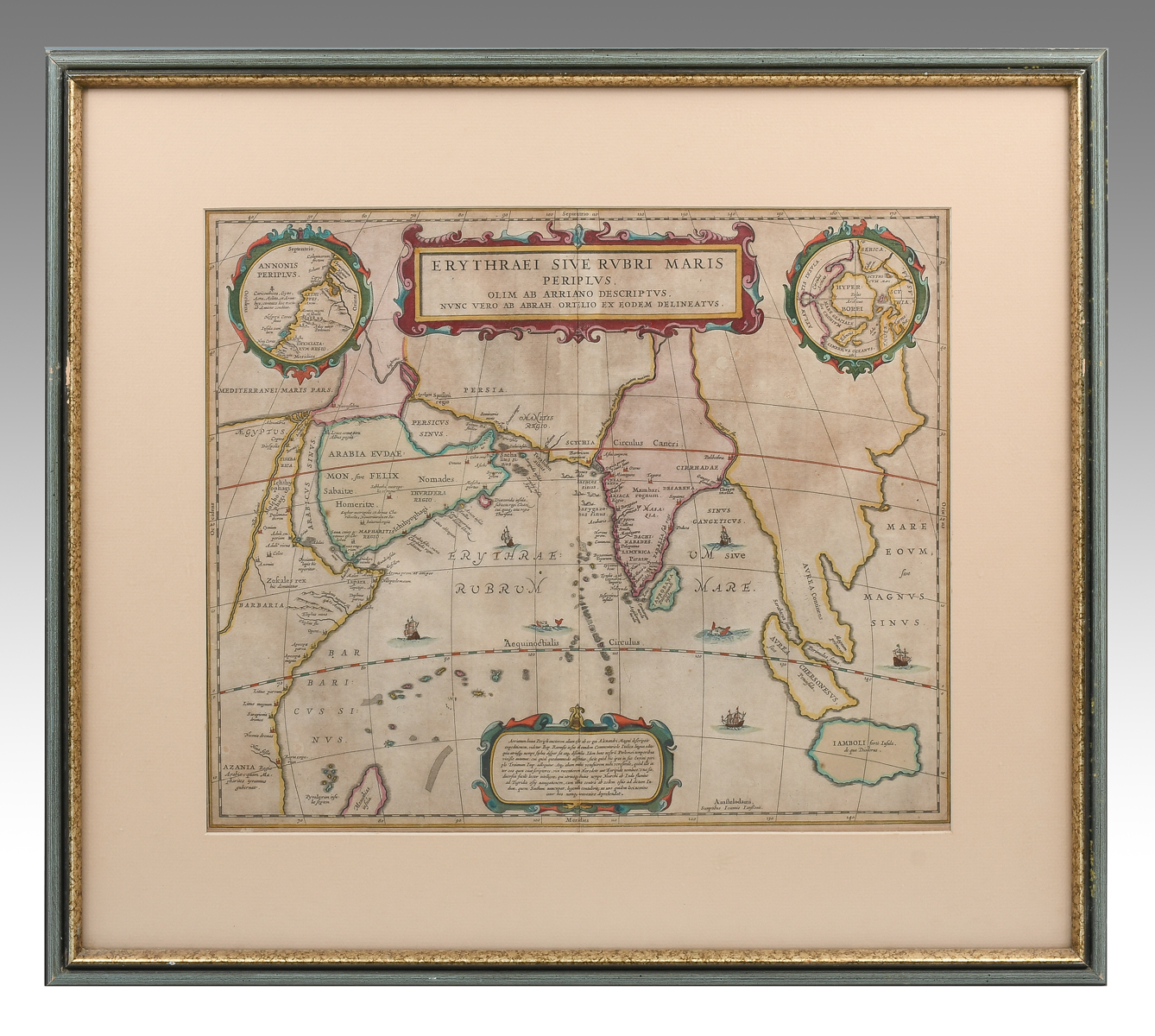
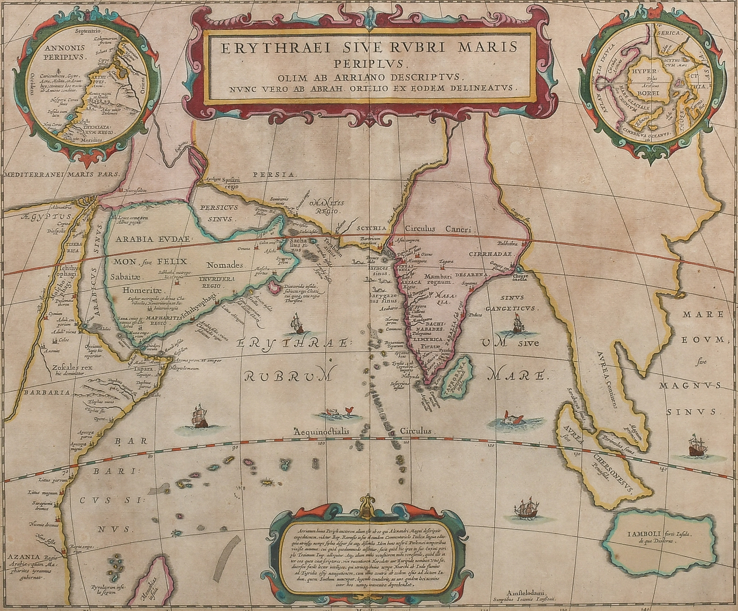
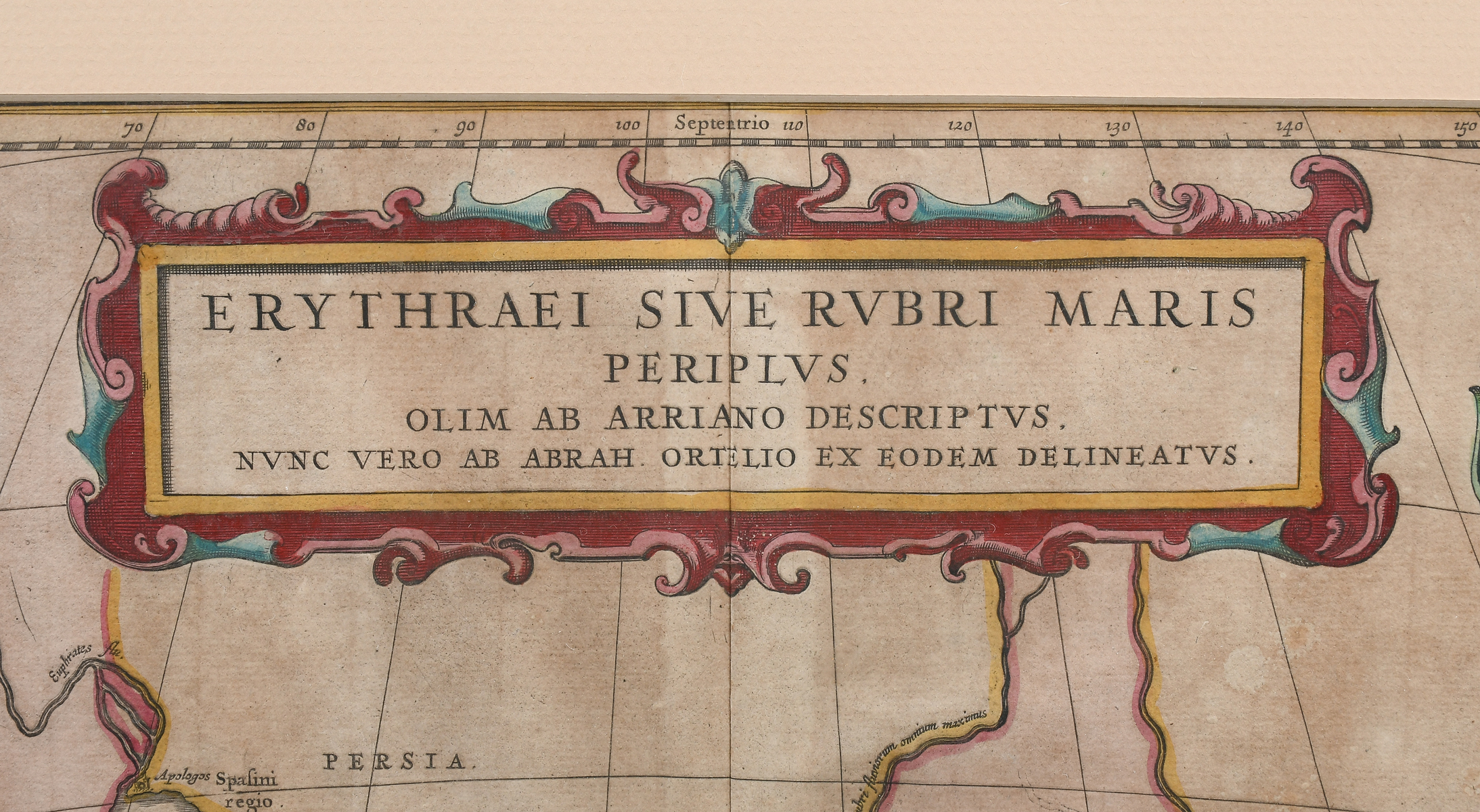
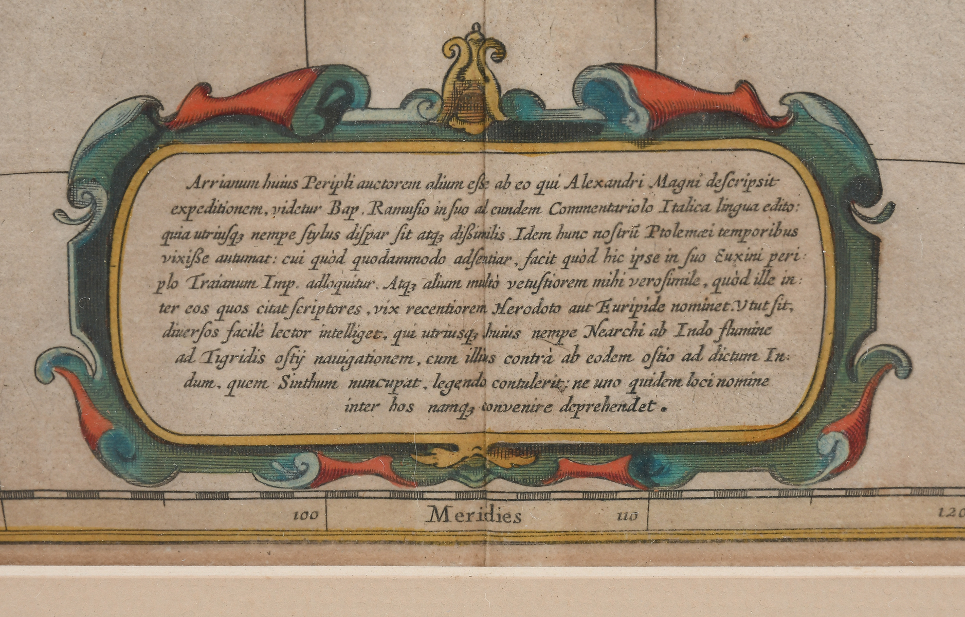
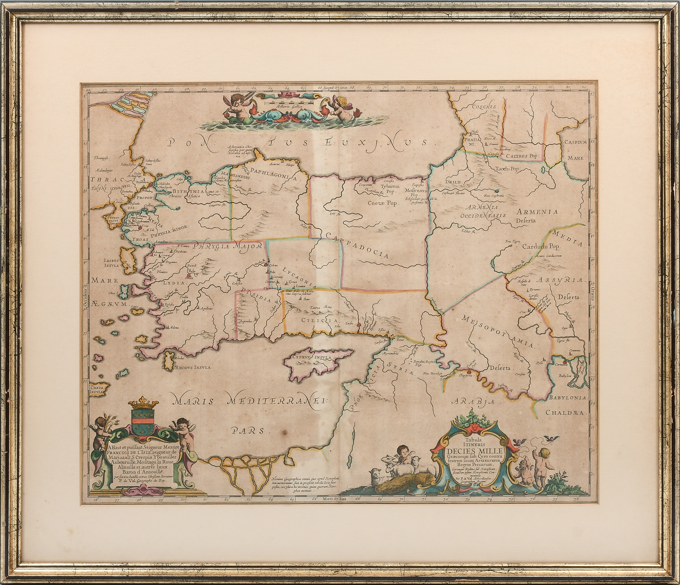
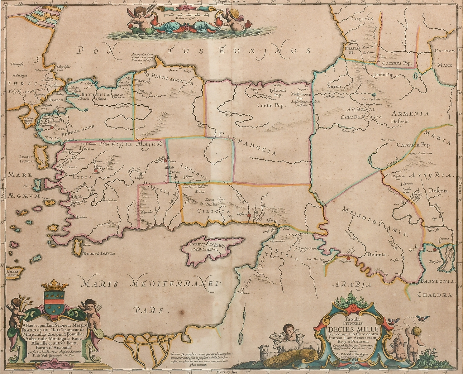
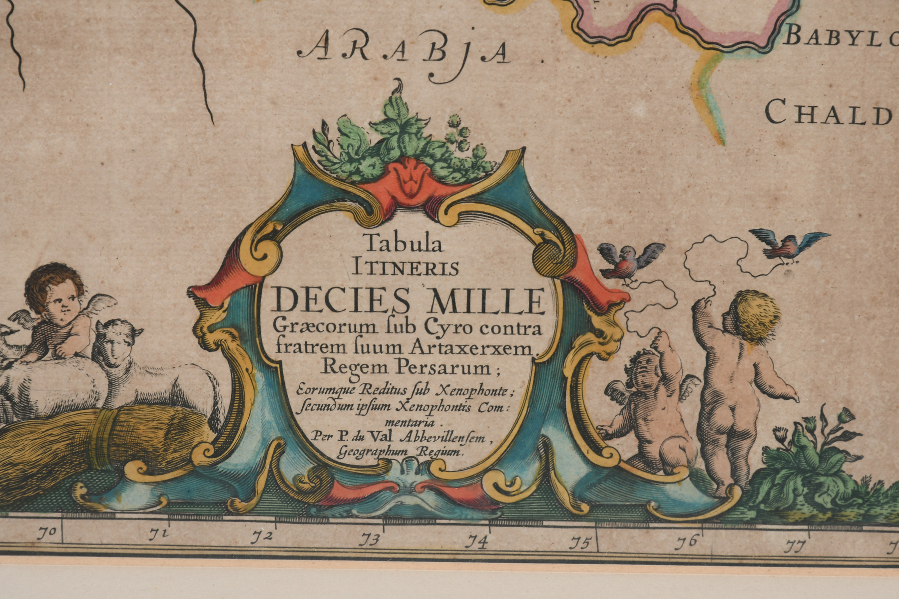
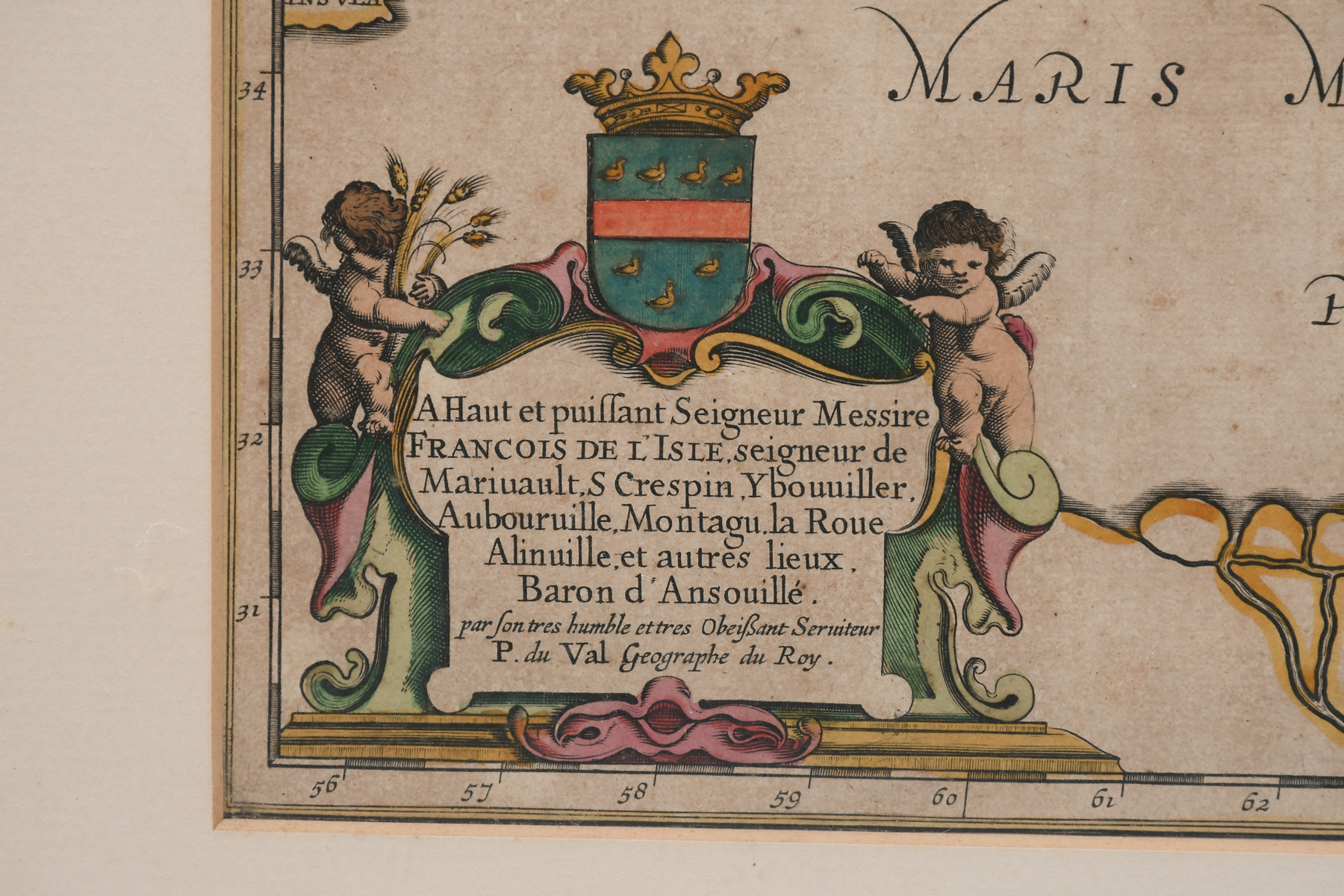
2 PC. FRAMED EARLY MEDITERRANEAN MAPS: Comprising; 1- 1658 Jansson Map of the Indian Ocean. 1- This historical map illustrates the region involved in the conquest of Cyrus the Great (558-528 BC), the founder of the Persian Empire under the Achaemenid dynasty. It covers all of Asia Minor through to Armenia and Babylon. Pierre Duval for Jansson. Largest sight size Approx. 16.25'' h x 19.5'' w. Frame Approx. 22.75'' h x 25.75'' w.
CONDITION: Foxing, creases, scattered wear to frames.