Lot 154
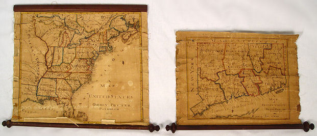
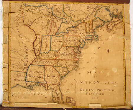
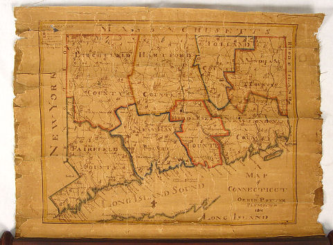
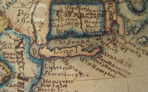
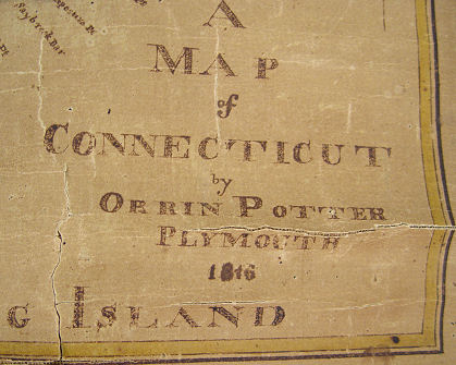
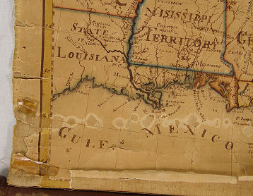
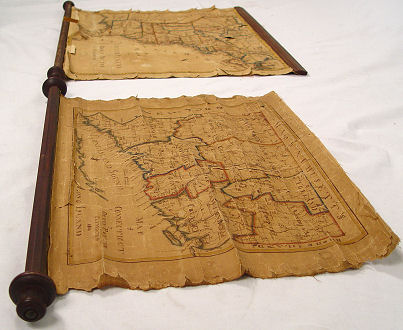
TWO EARLY 19TH C MAPS BY ORRIN POTTER: 1) Map of CONNECTICUT by Orrin Potter, Plymouth 1816, with key showing roads, county lines, court houses, meeting houses, and mountains, 19'' x 14 1/2''. 2) detailed map of the UNITED STATES, also by Orrin Potter, Plymouth, 1815, 21'' x 17''. Both maps are paper mounted cloth, attached to dowels and have been unrolled many times, hence the poor condition.