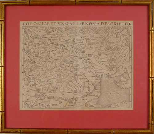
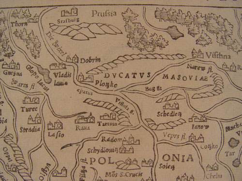
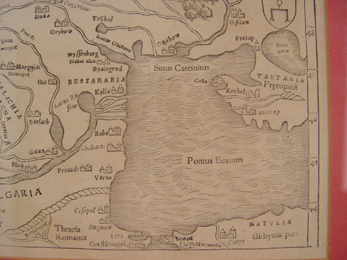
Lot 273
16TH CENTURY EASTERN EUROPE MAP POLAND HUNGARY: Circa 1570's map of Eastern Europe titled Poloniae et Ungariae Nova Descriptio by Sebastian Munster. Woodblock print. Sight size 11'' x 14'', framed 16 3/4'' x 19''. Please note folds.