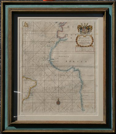
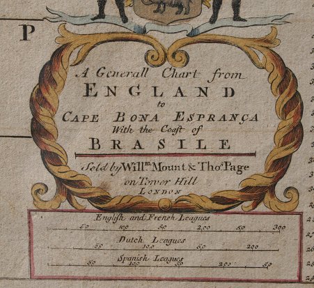
Lot 214
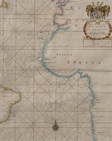
EARLY 18TH C. CAPE BONA ESPRANCA BRASILE COAST MAP: English map depicting the coasts of western Africa, Brazil and western Europe. Hand colored with coat of arms cartouche. Titled '' A Generall Chart from England to Cape Bona Espranca with coast of Brasile'' Sold by William Mount & Thomas Page. Image size 22 1/2'' x 18''. Framed 31'' x 27''. Note fold line, 1/8'' hole at fold line near edge.