Lot 149
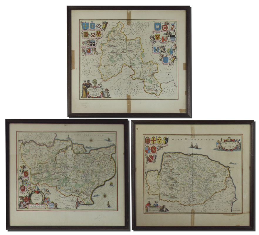
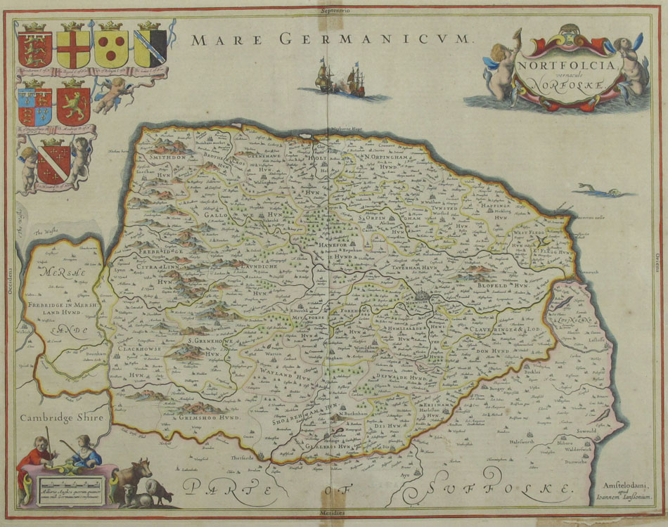
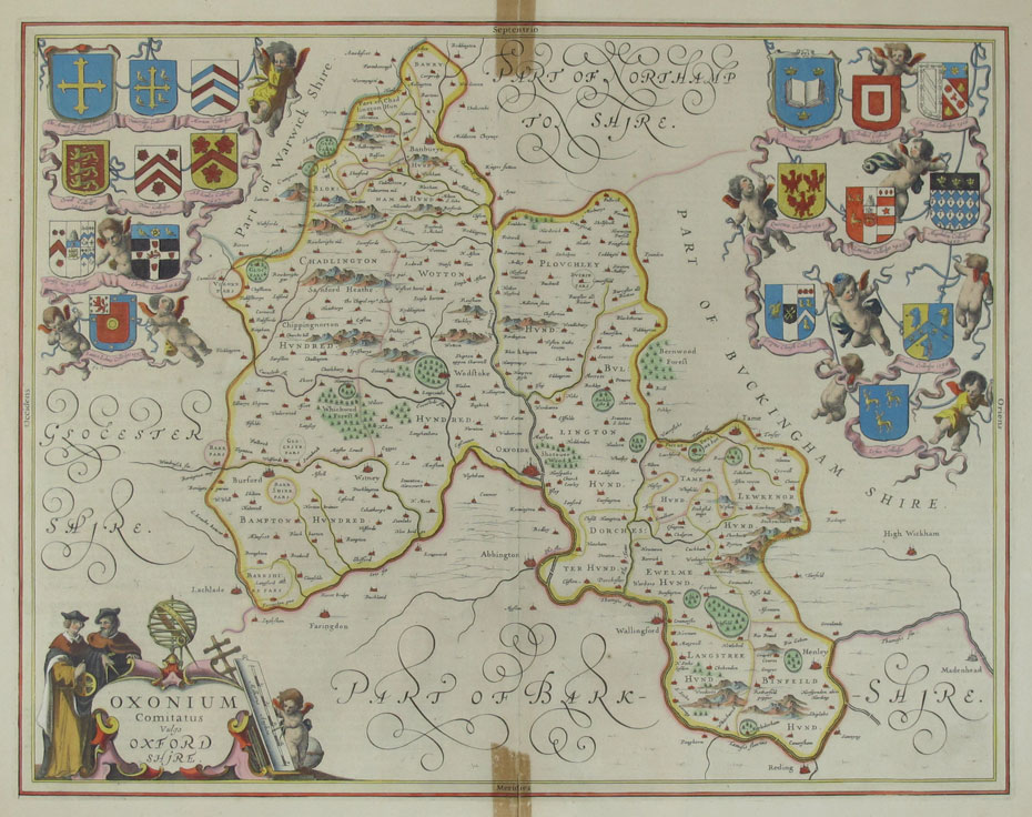
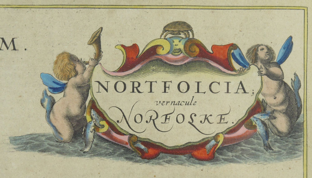
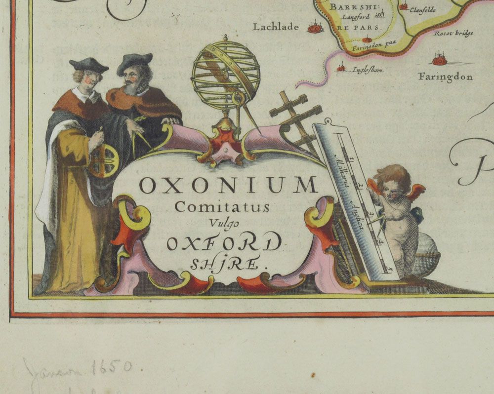
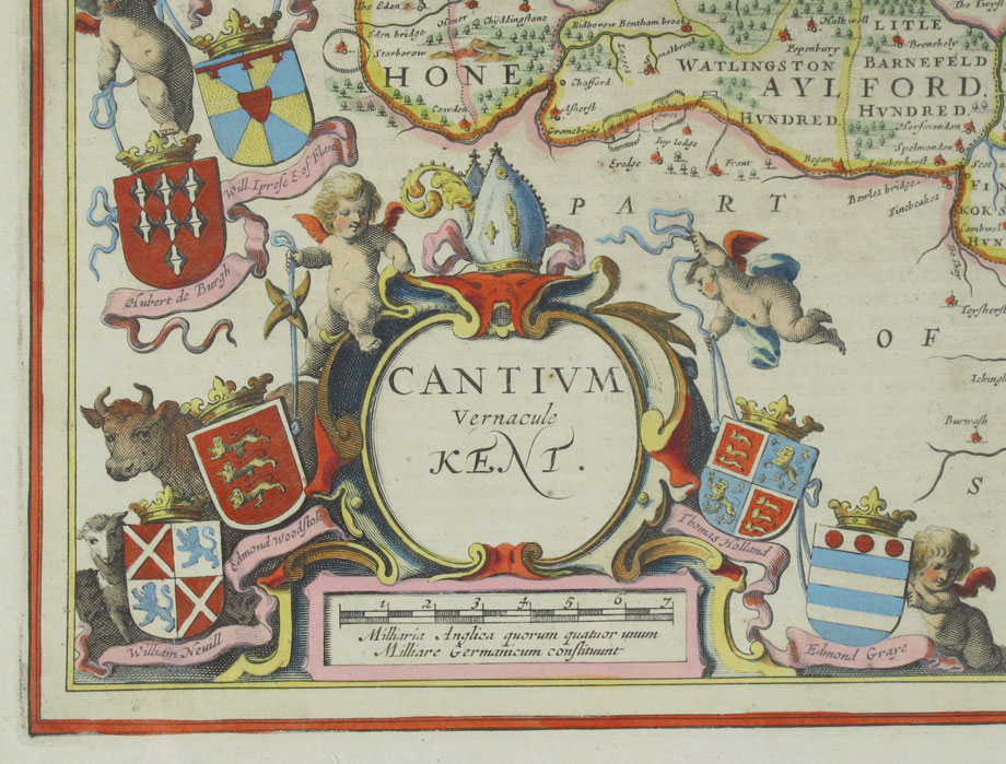
COLLECTION OF 3 17TH CENTURY JAN JANSSON MAPS: Circa 1650's maps of 3 English counties from the German language atlas. Hand tinted engravings comprising of Oxfordshire, Norfolke, and Kent. Each separately framed under glass. Sight size 19'' x 22 1/2'', framed 21'' x 24''.
CONDITION: Note tape remnants from early tape repairs, toning, writing in pencil on front of all.