Lot 1298
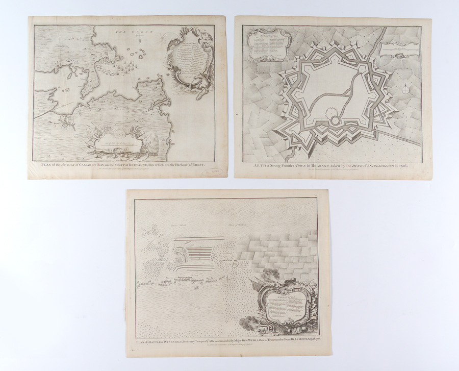
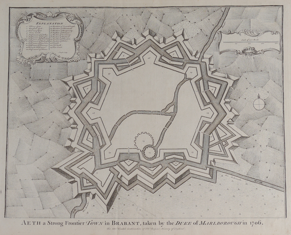
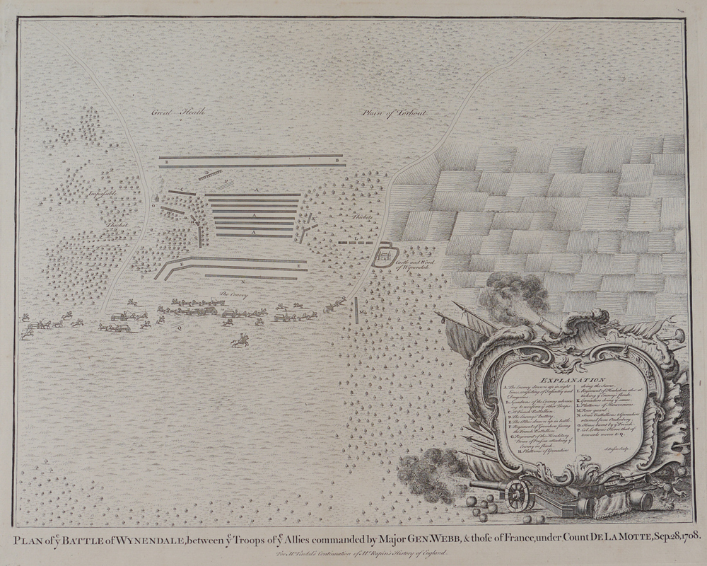
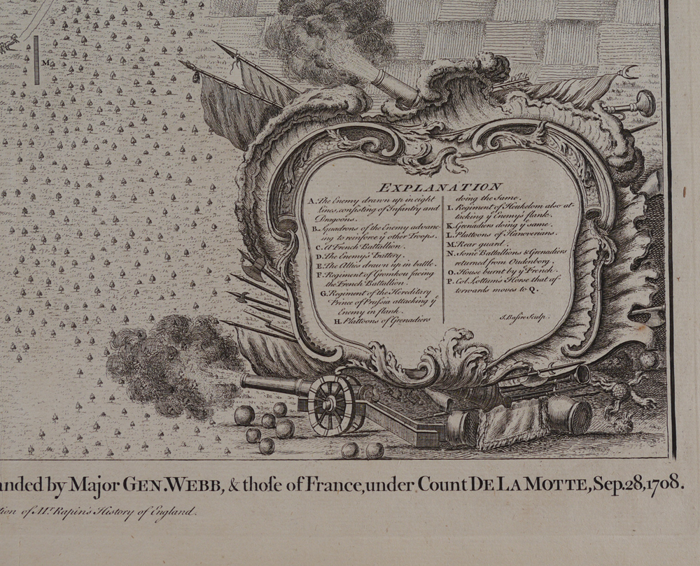
3 PIECE ENGLISH BATTLE PLAN MAP COLLECTION: 1) Plan of Ye Battle of Wynedale, between Ye Troops of Ye Allies Commanded by Major General Webb & Those of France, under Count de la Motte, September 28, 1708, 14'' x 18 1/2'', uncolored, I. Basire, sculptor. ''For Mr. Tindal's Continuation of Mr. Rapin's History of England''. Decorative cartouche with military paraphernalia, cannons exploding clouds of smoke, cannonballs, banners, trumpets, spears, halberts, picks, etc; 2) c 1725 Plan of the Attack of Comaret Bay, on the Coast of Bretagne, Thro which lies the Harbour of Brest, 14'' x 18 1/2'', uncolored, I Basire, sculptor. ''For Mr. Tindal's Continuation of Mr. Rapin's History of England''. Two decorative cartouches, one holds the scale of miles and is surrounded by military paraphernalia and a soldier holding aloft a sword; at top is a radiating sun with an inscrutable expression, at bottom is a sea shell. The other cartouche is shaped like a large seashell and hold information on fleet positions, batteries, etc. It is decorated with a Union Jack, a smoking cannon and the cannonball it has just hurled, and a horse spouting water as it rises from the sea; 3) c 1725 Aeth a Strong Frontier Town in Brabant, Taken by the Duke of Marlborough in 1706, 14 1/4'' x 18 1/2'', uncolored, I Basire, Sculptor. ''For Mr. Tindal's Continuation of Mr. Rapin's History of England''. A maze-like map with a decorative cartouche showing troop positions. A smaller cartouche contains a scale for rods. Each map measures 17'' x 20 3/4''.
CONDITION: Foxing, toning, bends to page ends.