Lot 1274
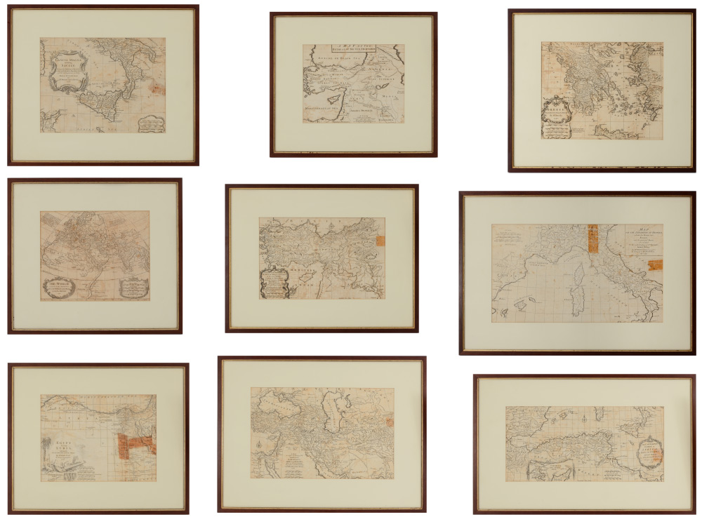
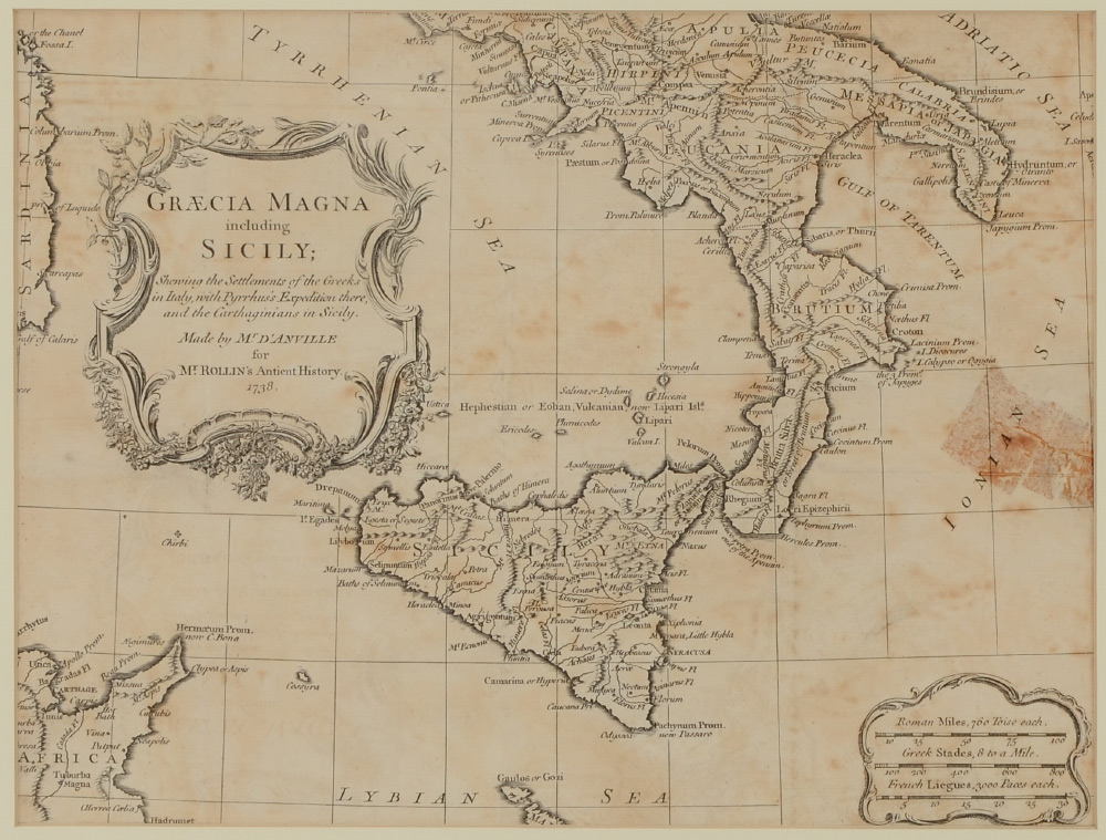
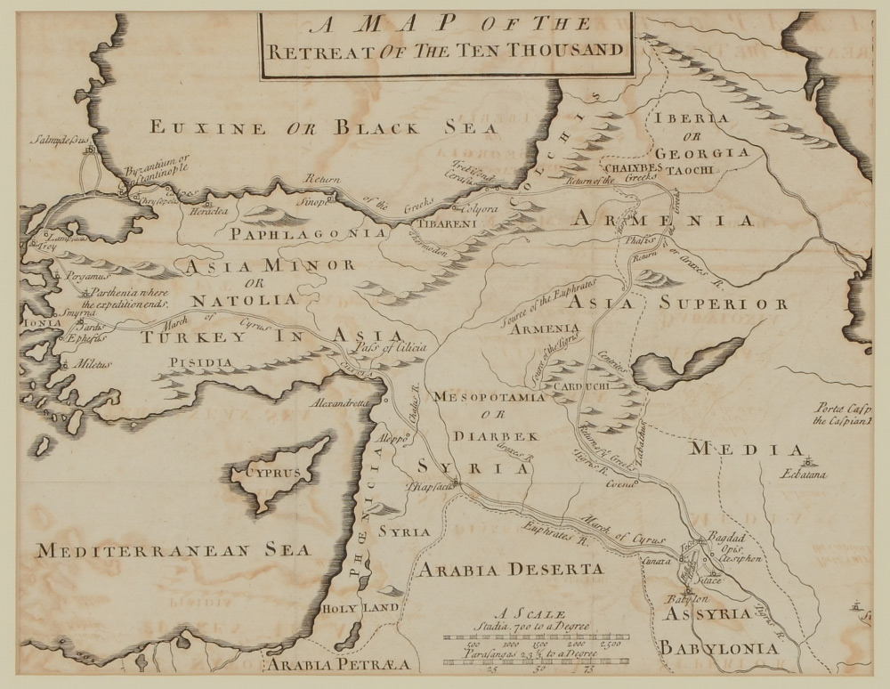
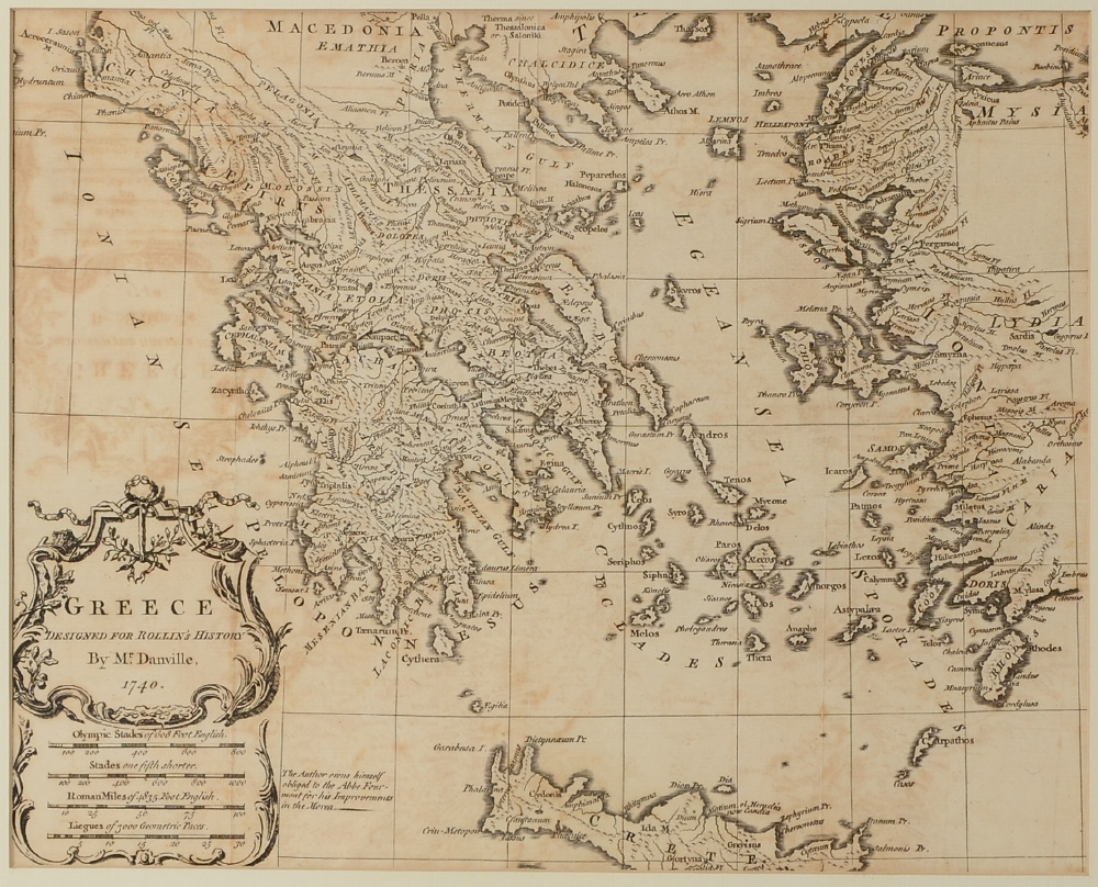
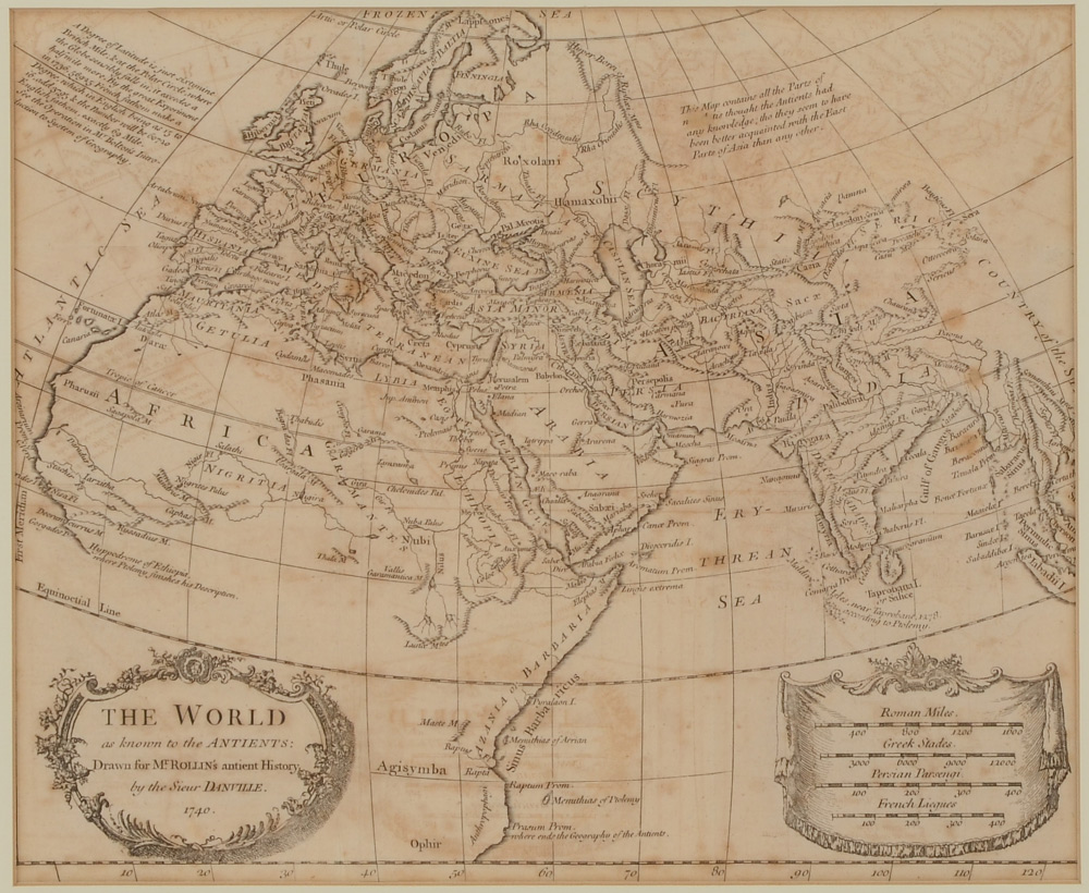
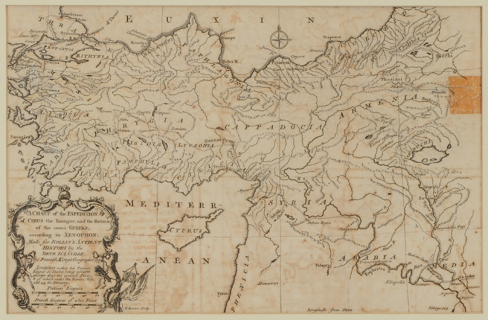
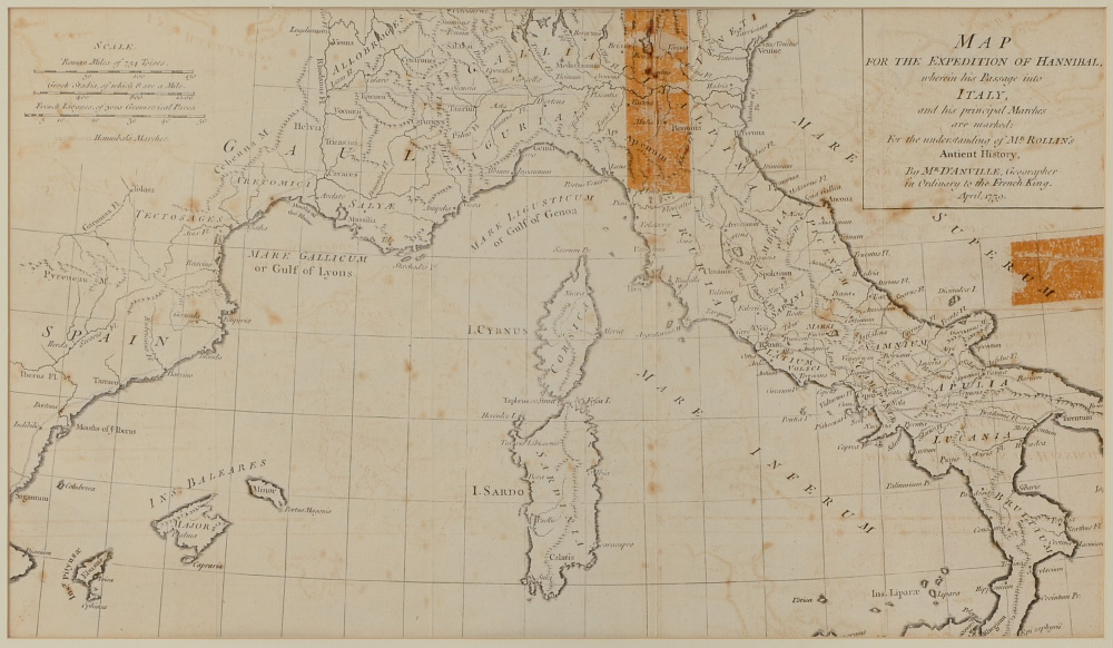
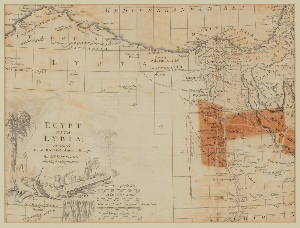
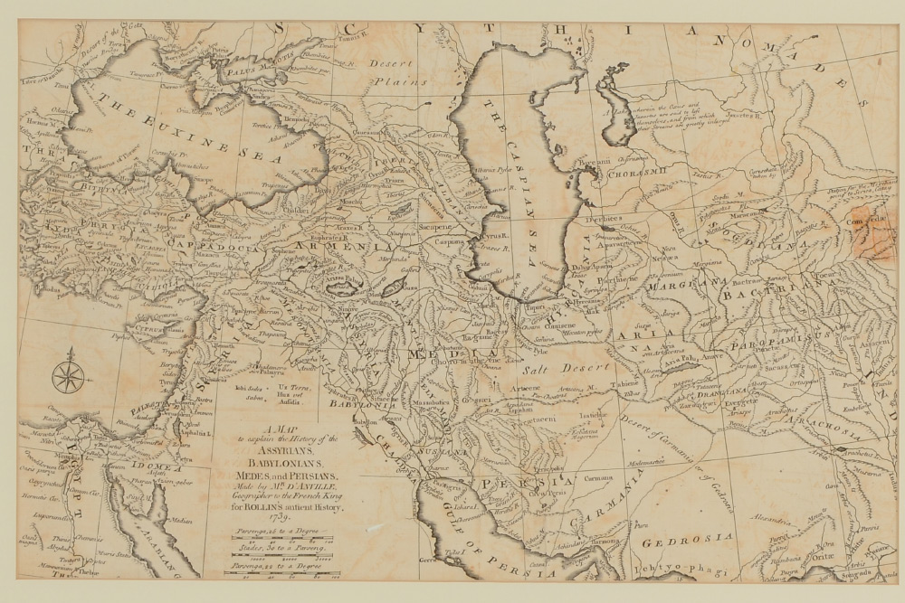
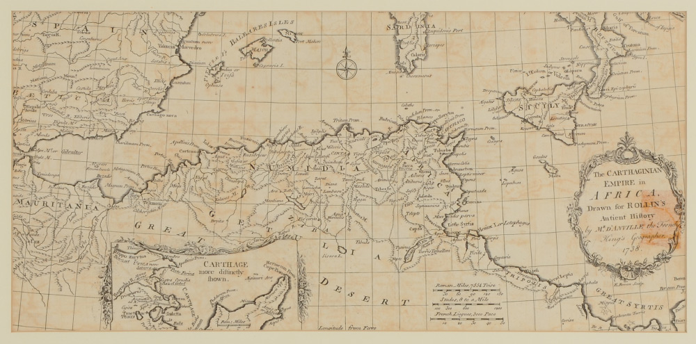
8 ROLLINS ANCIENT HISTORY FRAMED MAPS: 9 framed maps total, 8 from Rollins Ancient History books, drawn by D'Anville with various dates from 1738 to 1740, although these may be later impressions. To include ''A Chart of the Expedition of Cyrus the Younger'', ''The World as Known to the Antients'', ''Greece'', ''The Carthaginian Empire in Africa'', ''A Map to explain the History of the Assyrians, Babylonians, Medes and Persians'', ''Map for the Expedition of Hannibal (dated 1859)'', ''Graecia Magna including Sicily'', ''Egypt and Lybia''. Sold with ''A Map of the Retreat of the Ten Thousand'', unmarked as to maker, originally published circa 1760. All maps framed, largest frame measures 17 1/4'' x 25 1/4''.
CONDITION: Several maps with visible tape areas, not examined out of frame, sold as-is.