Lot 1451
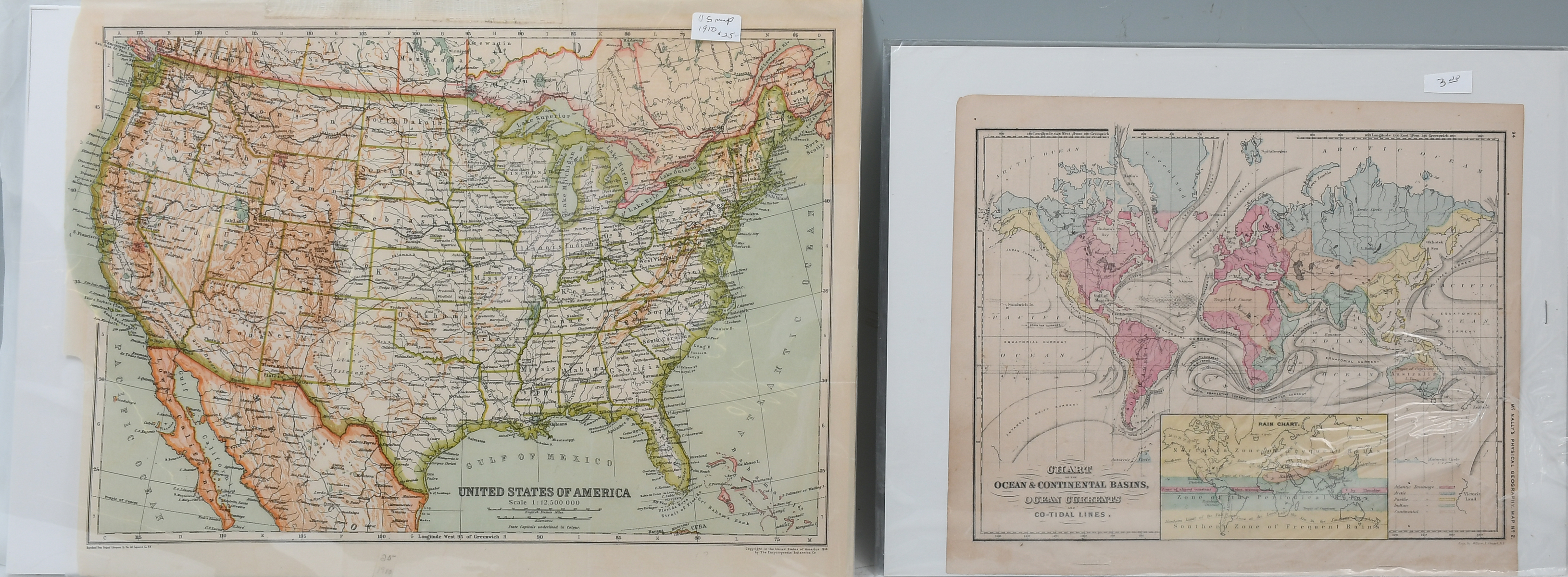
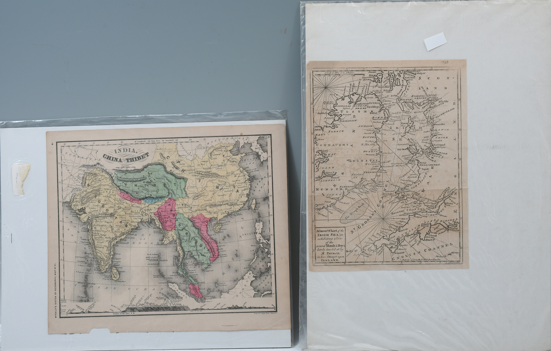
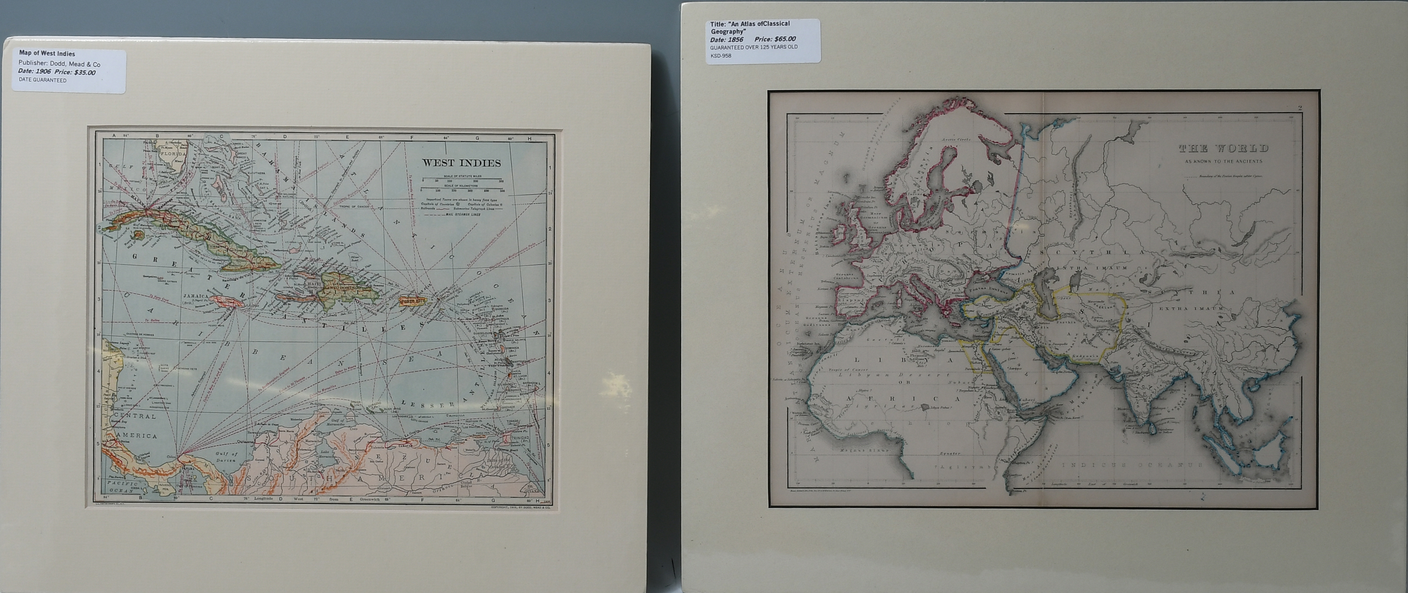
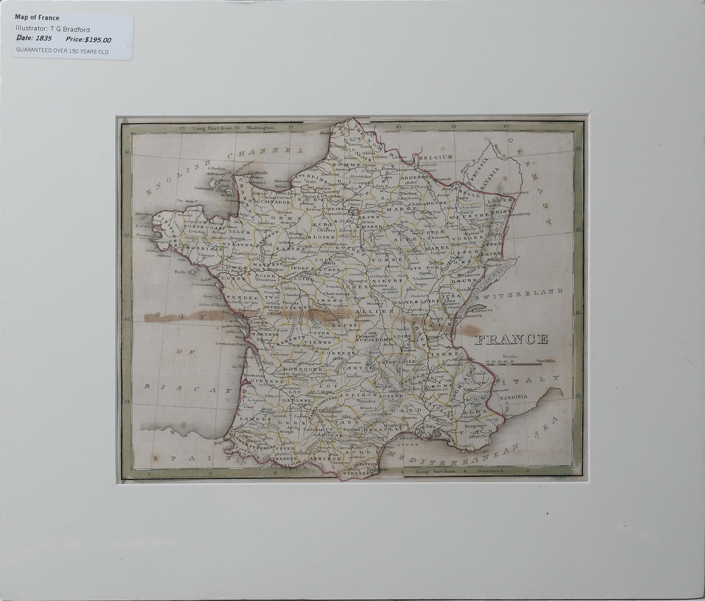
9 PC. ANTIQUE WORLDLY MAP COLLECTION: 9 pc. collection of 19th century maps to include; United States Exhibiting the Railroads & Canals. A Correct Chart of the Irish Sea. India, China, & Tibet. France, Chart of the Ocean & Continental Basins, Ocean Currents, and Co-Tidal Lines. The West Indies, and more. Largest Approx. 18.25'' h x 17.25'' w.